Ida set to hit Southeast Louisiana as a Category 4 Hurricane on Sunday
Hurricane Ida appears to have begun its anticipated rapid intensification phase. A favorable upper-level wind pattern, warm waters along the track, and a moist atmosphere are expected to allow for additional rapid strengthening overnight and early Sunday. This is again supported by the majority of the intensity models, and the NHC wind speed forecast continues to call for rapid strengthening, bringing Ida to Category 4 status within 12 to 18 hours. An eyewall replacement cycle could occur as Ida nears the northern Gulf coast, so some fluctuations in intensity are possible during that time. After landfall, rapid weakening is expected.

LOCAL IMPACTS
HANCOCK COUNTY:
- 7-11 feet of storm surge at high tide
- Sustained winds of 40-70 mph
- Wind gusts of 60-80 mph
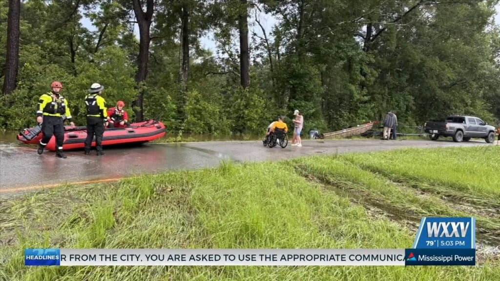
- 8-12 inches of rainfall may lead to flash flooding
- Moderate threat for tornadoes in feeder bands
HARRISON COUNTY:
- 7-11 feet of storm surge at high tide
- Sustained winds of 30-60 mph
- Wind gusts of 45-65 mph
- 8-12 inches of rainfall may lead to flash flooding
- Moderate threat for tornadoes in feeder bands
JACKSON COUNTY:
- 4-7 feet of storm surge at high tide
- Sustained winds of 20-40 mph
- Wind gusts of 30-50 mph
- 6-10 inches of rainfall may lead to flash flooding
- Moderate threat for tornadoes in feeder bands
FORECAST DISCUSSION
There is a danger of life-threatening storm surge inundation Sunday along the coasts of Louisiana, Mississippi, and Alabama within the Storm Surge Warning area. Extremely life-threatening inundation of 9 feet or greater above ground level is possible somewhere within the area from Morgan City, Louisiana, to the coast of Mississippi. In Louisiana, overtopping of local levees outside of the Hurricane and Storm Damage Risk Reduction System is possible where local inundation values may be higher. Interests throughout the warning area should follow any advice given by local officials.
Ida is expected to be an extremely dangerous major hurricane when it reaches the coast of Louisiana. Hurricane-force winds are expected Sunday in portions of the Hurricane Warning area along the Louisiana coast, including metropolitan New Orleans, with potentially catastrophic wind damage possible where the core of Ida moves onshore. Actions to protect life and property should be rushed to completion in the warning area.
Damaging winds, especially in gusts, will spread inland near the track of the center of Ida across portions of southeastern Louisiana and southwestern Mississippi Sunday night and early Monday. These winds will likely lead to widespread tree damage and power outages in Southeast Louisiana and portions of Hancock and Pearl River Counties in South Mississippi.
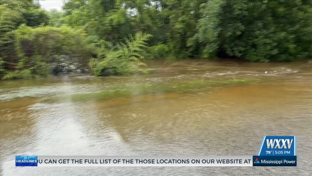
Ida is likely to produce heavy rainfall Sunday into Monday across the central Gulf Coast from southeast Louisiana, coastal Mississippi, and far southwestern Alabama, resulting in considerable to life-threatening flash and urban flooding and significant river flooding impacts. A Flash Flood Watch is in effect for the entire area.