Minimal rain chance to start the week, leading to warmer afternoons
Meteorologist Sam Lucey has a look at the week ahead
Our typical summer-time weather pattern is settling in along the Gulf Coast this week, bringing plenty of heat, humidity, and sunshine.
Tonight will remain mostly cloudy with lows falling into the lower 70s. By Tuesday, clouds will gradually give way to sunshine, helping temperatures climb to around 89 degrees. Similar conditions are expected on Wednesday and Thursday, with morning clouds giving way to mostly sunny skies and afternoon highs reaching near 90 degrees.
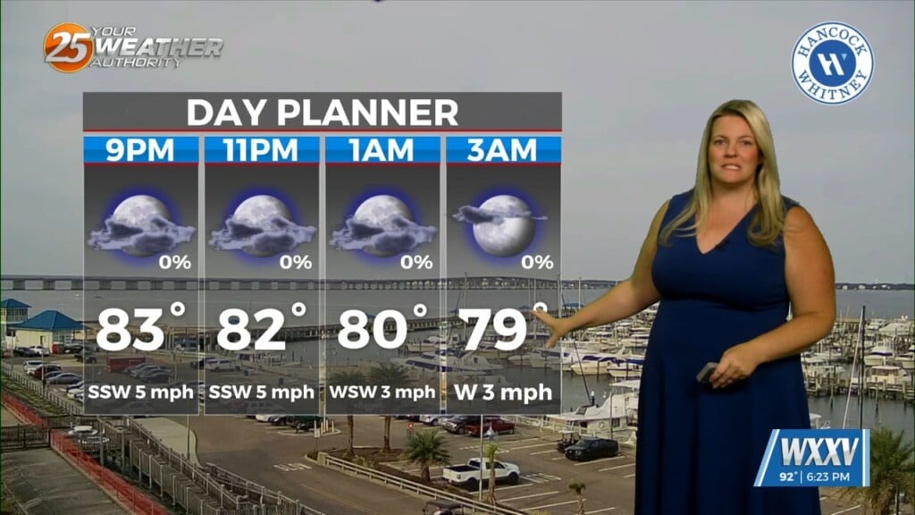
Overnight temperatures will remain warm and humid, generally in the lower 70s, but not providing much relief from the hot afternoons.
The forecast stays largely dry through Thursday, but rain chances begin to return by the end of the week. A few isolated showers and thunderstorms will be possible Friday afternoon, with scattered storms becoming more likely during the weekend. While many locations will stay dry for much of the day, any storms that develop could produce brief heavy rainfall, lightning, and gusty winds.
High temperatures will continue to hover around 90 degrees through the weekend before dipping slightly into the upper 80s by Monday as rain coverage increases.
If you have outdoor plans this week, expect hot afternoons and be sure to stay hydrated.