Tracking another round of rain tonight before we start to dry out
Meteorologist Sam Lucey has a look at the week ahead
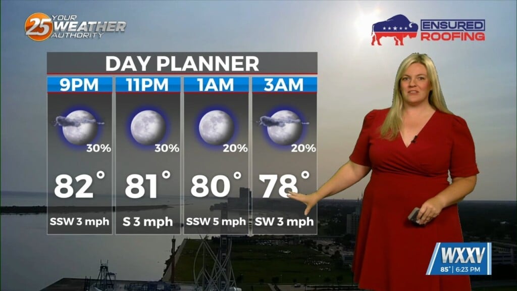
A few more rounds of showers and thunderstorms are expected tonight, with the heaviest rain likely before 9 p.m. Additional rainfall totals of up to a half inch are possible in spots before activity gradually tapers off overnight. A few lingering showers could still be around early Tuesday morning, but much of the day looks drier with mostly to partly cloudy skies and highs climbing into the low 80s.
The rest of the week brings a much quieter weather pattern across the Coast. Sunshine sticks around through at least Saturday, with afternoon highs warming into the mid 80s and overnight lows staying comfortably in the mid to upper 60s. By Sunday into early next week, moisture begins to increase again, bringing a slight chance for a few isolated showers and thunderstorms while temperatures remain seasonably warm.