05/13 – Brantly’s “Comfortable” Thursday Night Forecast
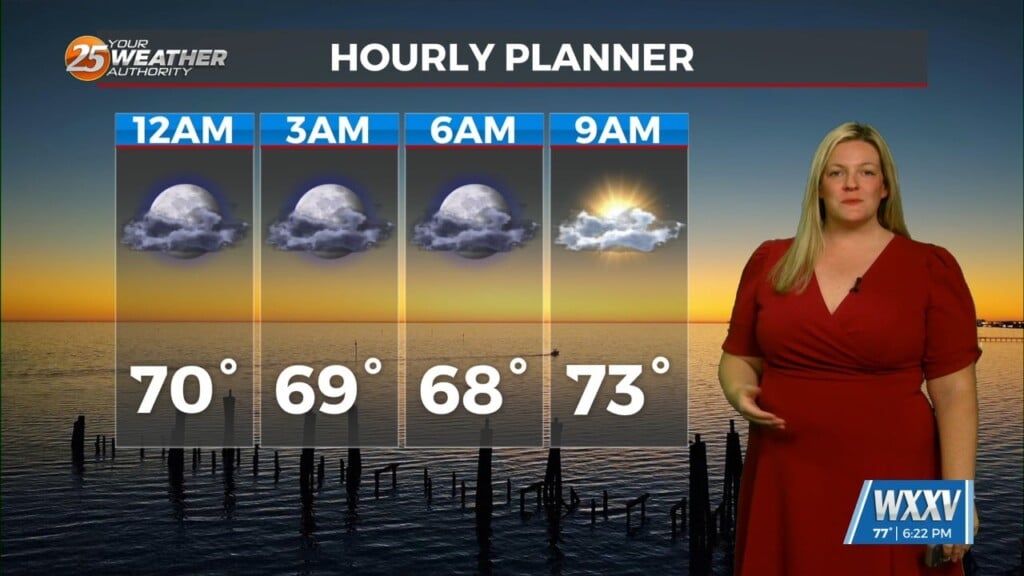
There remains a possibility that some of the patchy low clouds sitting over the coast may persist at least into the first half of the night, as lingering moisture sits over the area. Mostly clear conditions are expected by daybreak Friday.
Highs next week will generally be in the low to mid 80s, however, some upper 80s are possible over inland portions of South Mississippi by the middle of next week. Humidity values will also increase with dew points climbing into the mid and upper 60s. This also keeps low temps on the mild side in the 60s.
As we enter the weekend going into Saturday, surface high pressure begins to build east across the Mid-Atlantic States, with a transition in surface to low-level winds from the east to eventual southeast. Expecting another day of partly cloudy skies with as the gradual warming trend continues.


Leave a Reply