04/30 – Brantly’s “Scattered Showers” Friday Forecast
As a weak cold front moves across the region today and momentarily stalls near the coast during the day, rain chances will increase to around 50 percent. Moisture pooling along the front across our coastal areas in combination with surface heating with temperatures climbing into the mid 80s, will provide enough instability in the atmosphere to support a good chance of showers and thunderstorms through the afternoon and early evening. Localized heavy rainfall and frequent lightning will accompany these storms, along with localized gusty winds to 25 mph.
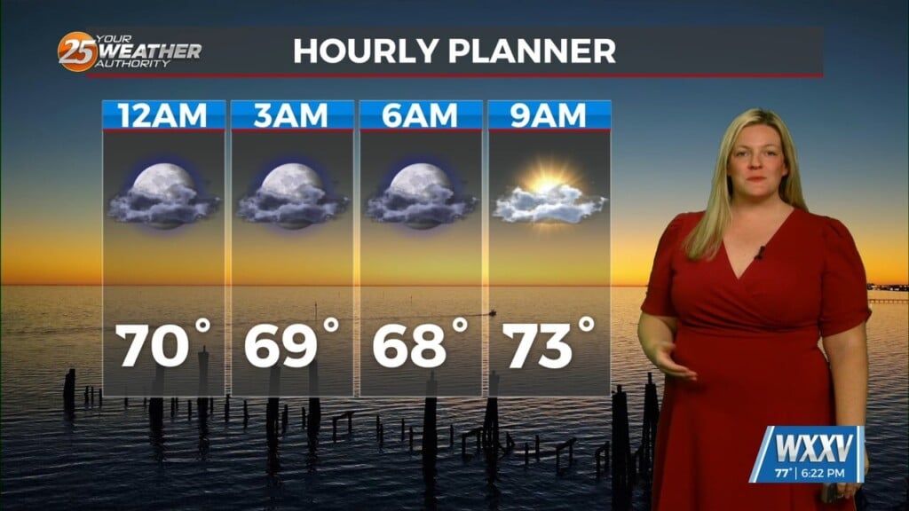
This activity will settle down quickly before sunset due to loss of surface heating and as the upper high pressure area moves over the region. At the surface, the weak cold front will be in the process of progressing south of the Gulf coast by this evening, and move well southward over the Gulf of Mexico overnight into Saturday, but is expected to begin moving back north as a warm front by late Saturday afternoon. It will be dry across the region tonight through Saturday afternoon. Lows tonight will be in the mid 50s to lower 60s inland areas, with mid 60s along the coast. Highs on Saturday will climb back into the low to mid 80s.
As an area of low pressure moves along the Gulf Coast on Sunday along with another front, there will be an increase in moisture, lift, shear and instability, there is some concerns we will see an uptick in the occurrence of strong to perhaps severe storms Sunday afternoon and evening.


Leave a Reply