1/14 – Sam Parker’s “Warming, Rain, then Arctic Blast” Tuesday Night Forecast
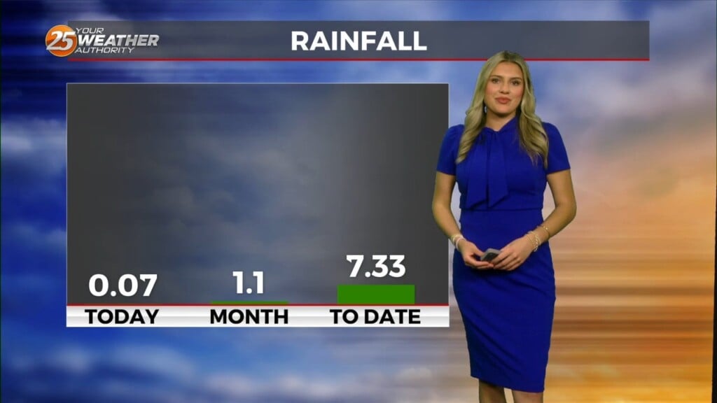
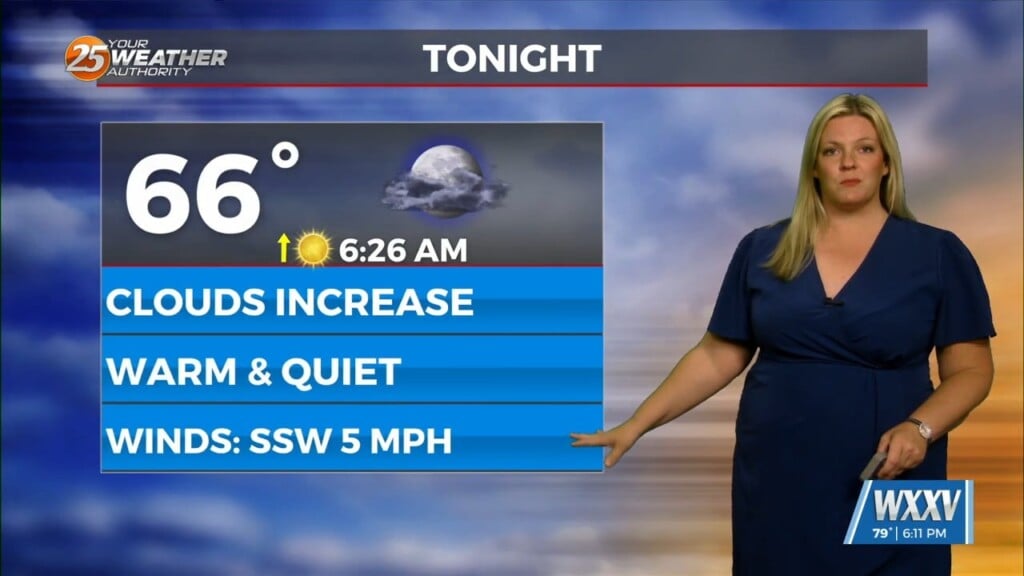
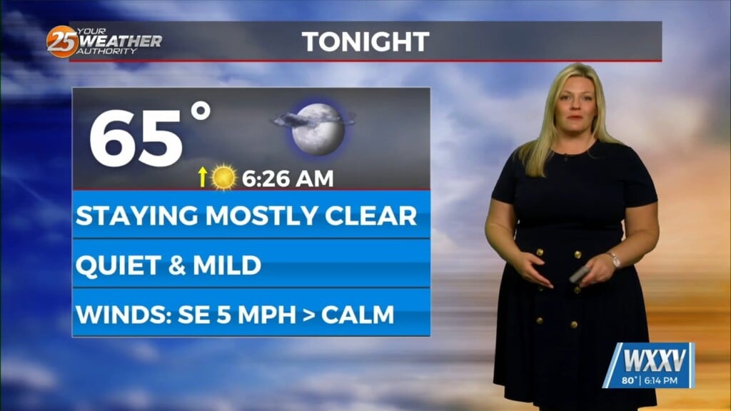
The next few days will continue to warm up until rainfall this weekend and the big cold front. Chilly overnight lows with cloudy skies over head. Wednesday very slightly warmer highs, but still cool. Rain chances slightly increase later in Wednesday night, mainly along the coast. The end of the work week will have more seasonable highs. This weekend the rain expected to move in Saturday morning then the big cold front. The second Arctic Blast of 2025 starting to shape up with below freezing temperatures.


