12/26 – Sam Parker’s “Few Days of Rain” Thursday Night Forecast
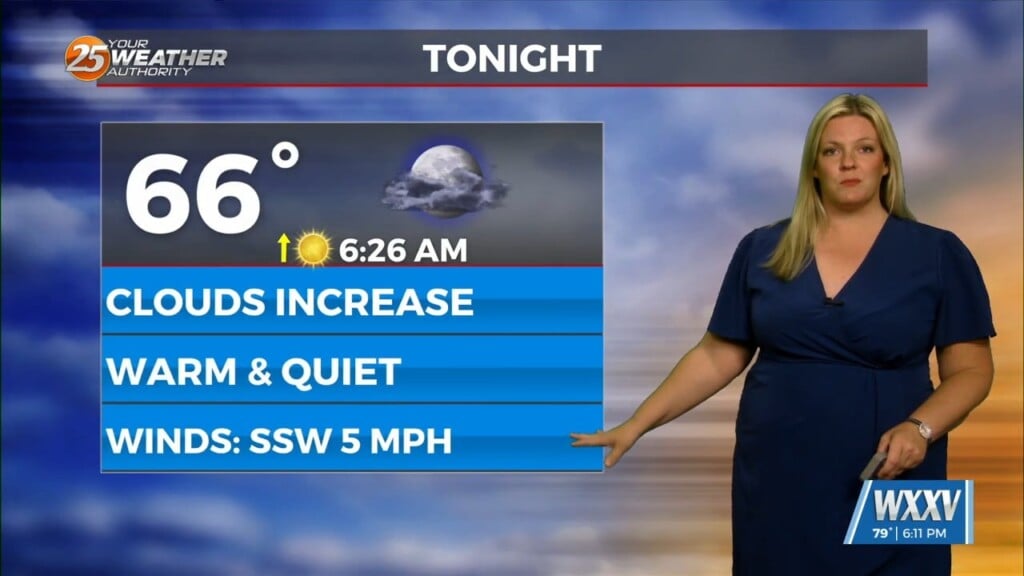
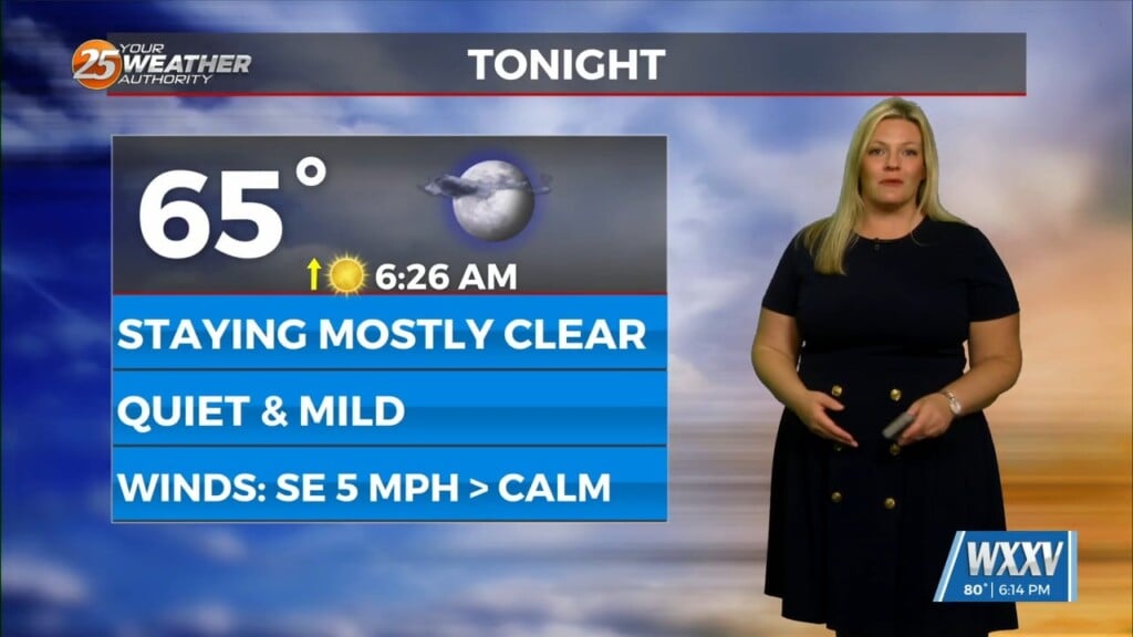
Severe risk of weather Friday and through the weekend. We had a mild Thursday staying in the mid 60s with cloudy weather. Stronger easterly winds overnight as we wait and see for scattered showers for Friday afternoon. Our mid latitude cyclone will push to the NE as the frontal boundary will push the available moisture in front of it. As it passes we wont see cooler temps like we’ve see in the past. We will continue to see moisture move in from the south to fuel our storms for Saturday as there is a slight risk chance for severe weather (2/5) as there is stronger storm energy and unstable conditions available further north. Could see scattered on and off Saturday but the stronger showers will move in late Saturday. Our next big cool down comes in 2025.


