6/25 – The Chief’s “Heat Advisory” Tuesday Afternoon Forecast
Just walk outside and you will know the forecast. It`s Summer, hot, muggy, daily rain chances, and just downright oppressive conditions. This afternoon temps will warm into the lower to mid 90s across the entire region and with dew-points in the 70s, this will easily lead to heat index values in the 100s with most sites sitting between 104 and 110.
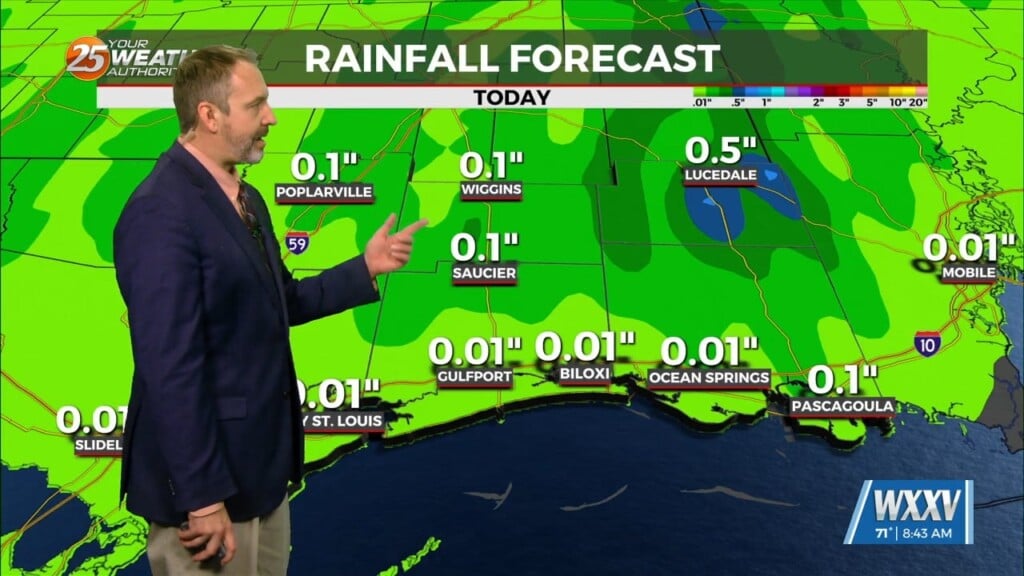
The primary concerns over the next 36 hours will be the heat, and the potential for thunderstorms. While the disturbance that triggered yesterday`s thunderstorms has moved away from the area, there will still be remnant outflow boundaries around. We should see at least isolated to scattered development of t-storms this afternoon. Low level wind fields are pretty weak, so any storms that develop today won’t be moving much, just propagating along outflows.
The one change on Wednesday as compared to today is that a disturbance moving out of the Plains states will move into the area around midday, which is expected to enhance areal coverage of showers and t-storms during the afternoon into the early evening hours. Depending on the timing of convective development, it could keep our heat index values just below advisory criteria tomorrow.
We may still have energy impacting the area on Thursday with high pressure well to the west of the area. That would lead to fairly good areal coverage of t-storms across the area, and potentially be the least uncomfortable day of the extended.


