4/18 – Trey Tonnessen’s “Loading Heat” Thursday Night Forecast
Meteorologist Trey Tonnessen
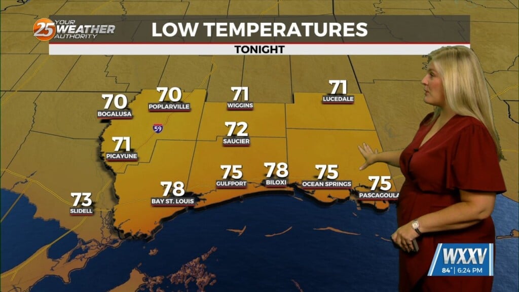
Light showers slightly to our north should dissipate this evening and overnight with the loss of daytime heating. Clouds will hang around tonight, and areas of mostly light fog will be possible. The upper trough will continue east across the Great Lakes Friday and Saturday. The upper low aloft will still be fairly flat/zonal with possibly weak ridging in place. That will still promote slightly more moderating temps. We may see an isolated location or a few reach 85 degrees on Friday.
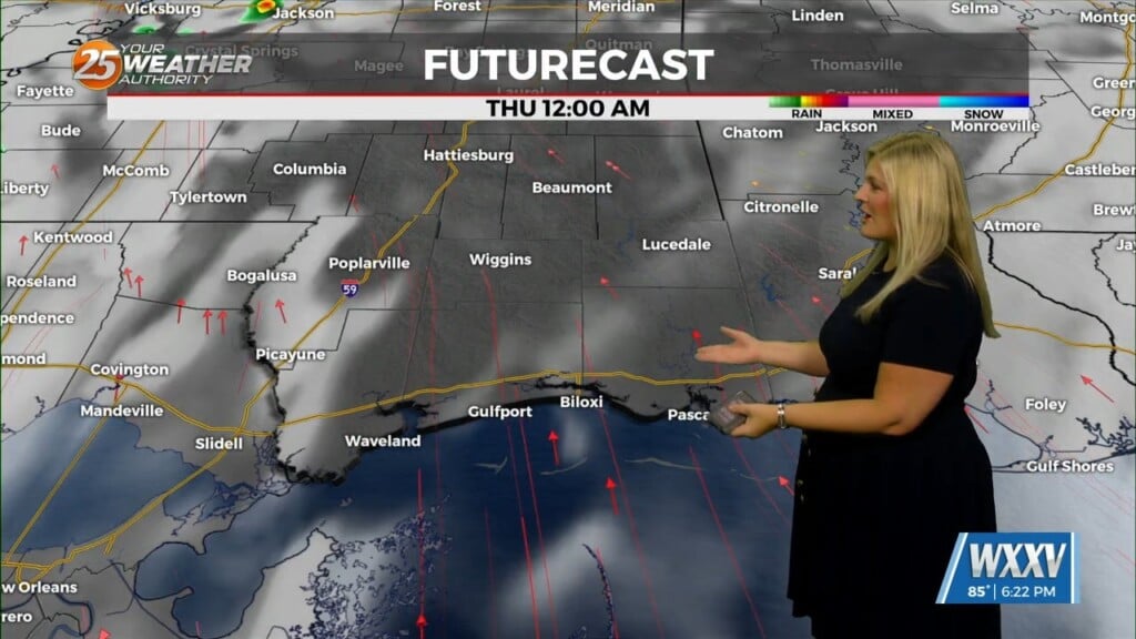
As we go through the weekend, models show a shortwave on the backside of the northern trough moving through the region. This is what will be needed to drive a cold front through the viewing area on Sunday. Ample moisture remains in place with lift from the front, a good setup for increasing showers and thunderstorms. Latest models depict this with rain chances increasing and rainfall totals around an inch. This cold front won`t be particularly strong, so there will only be around a day of below normal temperatures followed by moderating conditions quickly returning as well as above normal temperatures after Tuesday.
As always: A cloudy day is no match for a sunny disposition. Be nice to each other.
-Meteorologist Trey Tonnessen