2/28 – The Chief’s “Cold Frontal Passage” Wednesday Morning Forecast
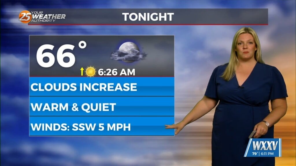
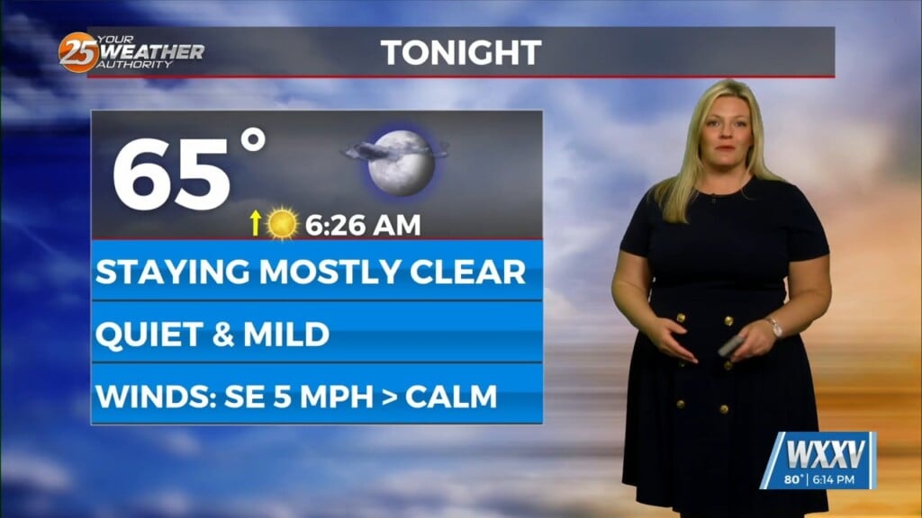
With low level moisture continuing to advect into the region from the south a solid low stratus deck of low level clouds has developed across most of the area. As the front moves closer, the low level winds will decrease as pressure gradient begins to break down just prior to frontal passage.
Today the cold front will move through the region, with plenty of low level moisture, but nothing outside of the frontal boundary to lift the moisture for more widespread shower activity. Behind the front winds will increase and a cooler and drier airmass will begin to settle into the region as surface high pressure moves eastward from the MO Ozarks into the Tennessee River and Ohio River Valleys. The front looks to stall just south of our waters later tonight and Thursday. With the closer proximity and a more active WSW flow aloft, cloudiness may hang on limiting insolation. This coupled with cold air advection will keep temperatures quite a bit cooler than the last few days. Otherwise, with the dry low levels, Thursday appears to be rain free.
Friday a weakness in the pattern will begin to move eastward across the central plains. With the wave moving eastward the old front looks to swing back northward closer to our region on Friday. Any ripple within the southwesterly flow and the presence of better surface convergence would help generate some shower activity across the area. Models has this feature just south and east and continued rain chances Friday into Friday Night and through the day on Saturday.
Through the weekend a stronger mid-level wave will move over the high plains and into the Great Lakes region. Several weaker impulses along the southern stream of the upper jet will continue to interact with the surface front still residing close to the region, although a bit on the weaker side. Although not a total rain out, periods of showers will linger through the weekend and into the start of the new workweek.


