1/22 – The Chief’s “Much Warmer Temperatures Ahead” Monday Morning Forecast
The overall pattern begins to shift with high pressure centered over eastern North Carolina, with a weakness/cold front along the lee side of the Rockies. Locally, while surface winds have been slow to turn southeasterly, low level moisture has increased, with lower clouds increasing from the southwest. Today will bring an abundant of cloud cover, and at least light precipitation. However, current indications are that rain amounts through Tuesday afternoon will be limited.
While rain amounts over the first 36 hours of the forecast don’t look as robust as earlier expected, we’ll likely make up for it during the middle and end of the week. Disturbances will trigger waves of showers and storms on Wednesday and again Thursday into early Friday, with potentially a third round Friday night or Saturday. Instability is expected to be more than sufficient for thunderstorms on Wednesday and Wednesday night, and a few strong storms can’t be ruled out.
While conditions will be a bit less favorable for strong storms Thursday and during the day Friday, thunderstorms and heavy rain will remain possible until much drier air moves into the area late Saturday in the wake of the main disturbance. There could be potential for a second round of stronger storms Saturday, depending on the track of the associated surface low and warm sector. Overall rain amounts through Saturday could still reach the 3 to 6 inch range with locally higher amounts possible, if not likely.
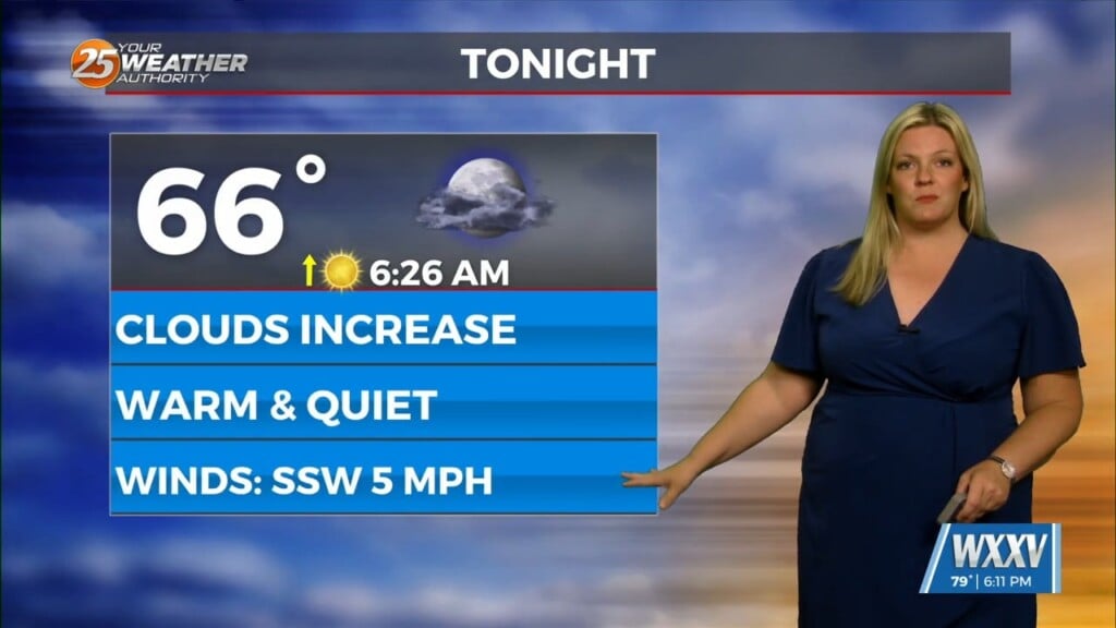
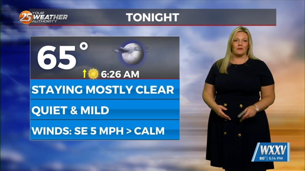
Temperatures for most of the extended period will be well above normal with highs in the upper 60s to mid-70s and lows upper 50s to mid-60s. Cooler weather will arrive Sunday, but even then temperatures only fall back to around normal.


