12/4 – Trey’s “The Tables Turn” Monday Night Forecast
Meteorologist Trey Tonnessen
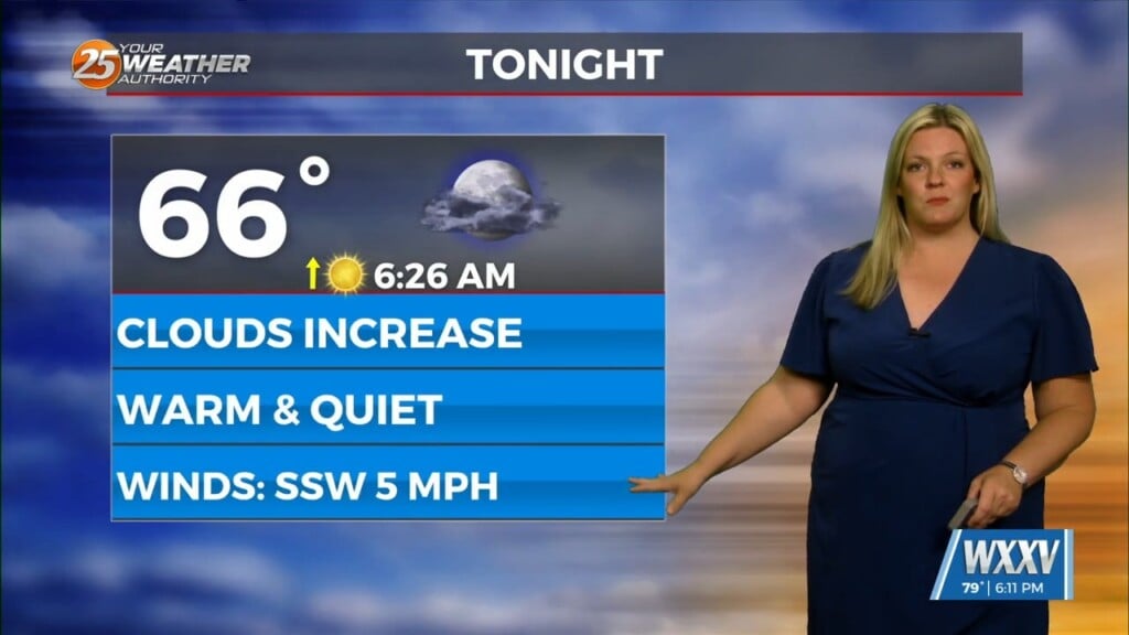
A weak frontal boundary continues to swing through the region this afternoon. Behind it, a bit better Cold Air Advection, compared to the previous front. That will lead to cooler conditions tonight and Tuesday. This Frontal Passage will be dry due to lack of meaningful moisture return and overall poor lift. Although cloud cover is stuck around across the region this afternoon…this is pretty much the only impact with the front and parent trough.
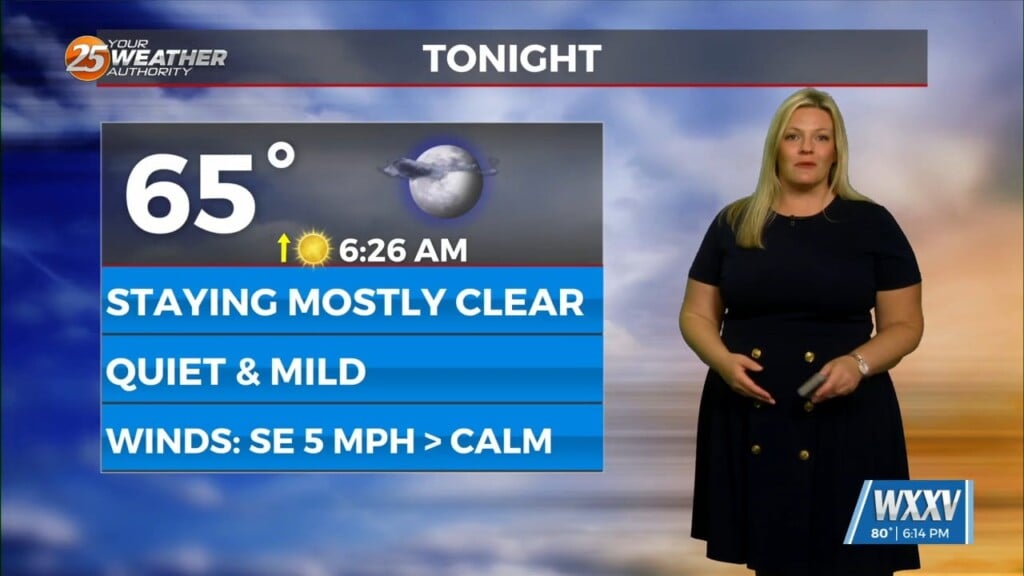
Tuesday night: Surface high pressure will mostly be in control. Below average temperatures are anticipated. Tuesday night and into Wednesday another frontal boundary will begin to move through the region with a more pronounced presence. There will be no precipitation with it, with winds increasing as the pressure gradient tightens between the low over the Appalachians and the relatively strong high pressure dropping southward from the plains.
As always: A cloudy day is no match for a sunny disposition. Be nice to each other.
_ Meteorologist Trey Tonnessen _


