11/17 – Trey’s “Sunny Days” Friday Night Forecast
Meteorologist Trey Tonnessen
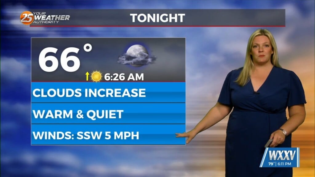
A weak cold front and upper level trough will begin to move toward
our region late tonight and early Saturday. Ahead of the front we may see
patchy fog where low level moisture pooling takes place. However, with
limited radiative processes and eventually dry air advecting in behind
the front, Visibility will drop like it would otherwise.

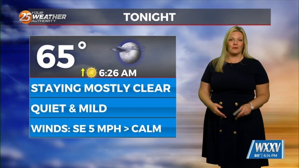
Clear skies will fill in behind the front on Saturday and
temperatures will be roughly unchanged despite the weak air advection
behind the front. Winds will remain generally less than 10mph across the
region as the pressure gradient remains lackluster and surface high pressure
quickly builds into the region late in the period.
As always: A cloudy day is no match for a sunny disposition.
Be nice to each other.

- Meteorologist Trey Tonnessen -


