10/23 – The Chief’s “Dense Morning Fog” Monday Morning Forecast
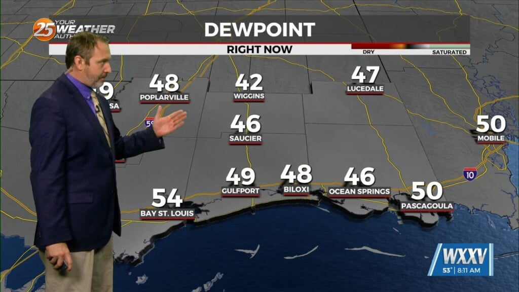
Upper level high pressure is now over the Mississippi River Valley with weakness along both Atlantic and Pacific Coasts. At the surface, high pressure was centered over Ohio. To this point of the night, fog has been rather patchy, with dense fog rather localized. Current Dense Fog Advisory has the area of fog pretty well covered at present. The upper high is expected to become pretty well established over the eastern Gulf of Mexico today and tomorrow. This is expected to produce rather persistent east to southeast low level flow over the next couple of days, increasing boundary layer moisture levels. By Tuesday, dew points are expected to be pretty consistently in the 60s. There may be enough surface wind Tuesday morning to produce stratus instead of radiation fog in most areas.
Based on satellite loops and forecast soundings, cirrus should be quite a bit more limited today as compared to the last couple days. Forecast soundings indicate that most areas should warm into at least the middle and upper 80s today and Tuesday, with the possible exception of the Mississippi coastal counties on Tuesday, where a pretty persistent sea breeze could cut off temperatures in the lower 80s around midday.
Changes will occur as the high pressure across at least the eastern half of the Gulf of Mexico is expected to keep any significant weather systems well to the west of the local area through the weekend. While a few showers can’t be totally ruled out across western sections next weekend, the threat of measurable precipitation is rather low. It is entirely possible that the next measurable precipitation in the area occurs in November.


