9/29 – The Chief’s “BEAUTIFUL Weekend” Friday Afternoon Forecast
A BEAUTIFUL Friday afternoon ahead with high-pressure to the NW and a weakling stationary front well to the south. Models pinpoint enough moisture above a well-mixed layer to support showers, but is situated below strong low to mid- level compressional warming/subsidence helping to keep a lid on further inland activity. Like yesterday, there is a decrease in rain chances to include mainly this morning at 20%.
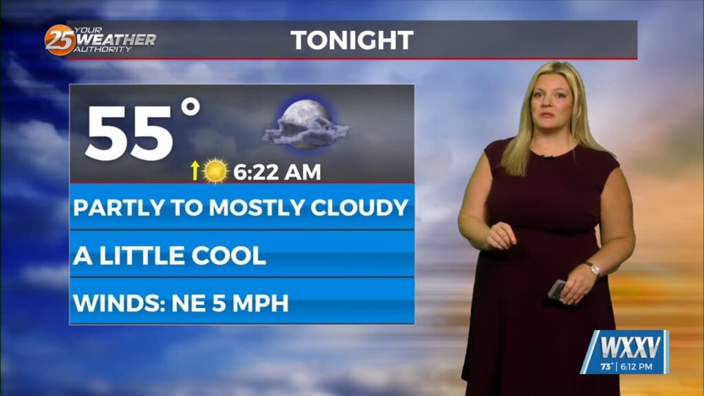
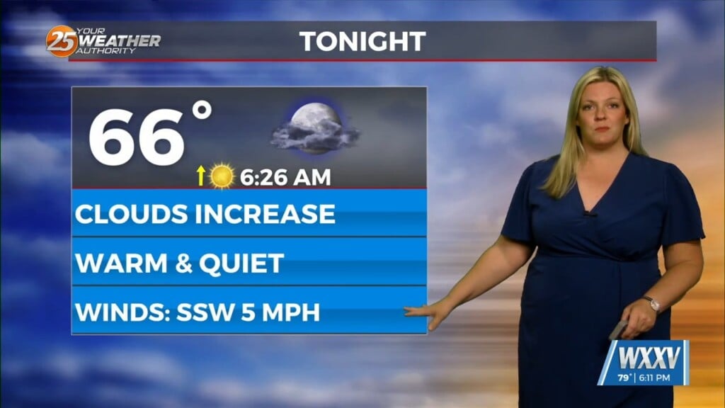
Otherwise, persistent easterly flow has also led to minor coastal flooding corners for east-facing shorelines from water piling and somewhat across coastal Hancock County. Otherwise, tides come down some Friday and Saturday but may perk back up again Sunday/Monday, so I will be keeping an eye on that. Quiet tonight as the focus shifts into a well-defined high-pressure system taking shape over the MS valley region. This brings the confidence of building heat this weekend. Something to be aware of with such strong high pressure and large-scale subsidence, this will suppress daily convective activity over land areas, to mainly isolated activity today-Sunday for each morning across warmer shelf waters. Otherwise, no major impacts going through Sunday.


