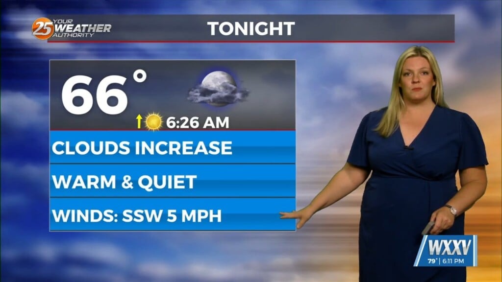
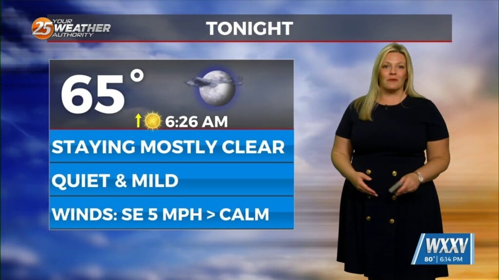
9/6 – Chris’s “Above Average Today” Wednesday Afternoon Forecast
An area of high pressure is currently centered near El Paso extending through the Mid-Atlantic States. A weakness in the overall pattern in the upper levels currently supporting a surface cold front well to the NW. This features is moving across the Upper and Middle Mississippi Valley, with a southward extension moving across Alabama. At the surface, weak high pressure was over the southern Appalachians into the north central Gulf of Mexico. Impulses of energy moving SE will push the surface cold front a little closer to the local area, with the front possibly making it as far south as the southwest Mississippi- southeast Louisiana border by Thursday evening. This will bring the potential for at least isolated late afternoon showers and thunderstorms both today and Thursday.
It’s still going to be rather hot outside of thunderstorms, however dew-points aren`t running as high as a week or two ago. High temps across much of the area will be in the low-90s heat indices will be below advisory criteria. Thursday will be a bit different as moisture flow and increased humidity values will push HI into “advisory” levels.
The ridge to our west does not really move much through at least the early portion of the weekend. Each impulse moving through the overall flow will gradually erode the east portion of the high pressure, eventually moving the cold front into or through the area. With the expected positions of the high pressure, we’ll be in several days of northwesterly upper flow. Overall, that is a fairly dry pattern for the area. Temperatures will remain above average, especially daytime high temperatures, through at least the weekend.


