8/6 – Jeff’s “Brutal Heat Continues” Sunday Night Forecast
This very brutal stretch of heat is going to continue into the new week. It will remain very warm and oppressively humid overnight as southerly flow continues. Some clouds overnight will gradually clear out around daybreak. Most spots will not see temperatures below 80 degrees.
An Excessive Heat Warning is in effect again from 11 AM until 7 PM for your Monday. Heat index values will again top 110 degrees. Temperatures will soar very quickly tomorrow under mostly sunny skies in the morning. A few clouds are possible but rain chances are not appreciable. An Excessive Heat Watch is already in place for Tuesday, and there is no reason to assume it won’t be upgraded to a Warning in due time.
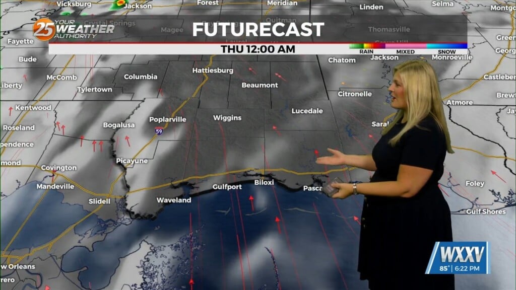
Tuesday brings the possibility for isolated showers and thunderstorms. The main issue will be the heat again. The pattern does not appear to be changing significantly this week. The uptick in humidity only makes matters worse by limiting how much cooling occurs overnight, and of course making the heat more miserable. Other than isolated daily rain chances, appreciable rain chances don’t have any signal of arrival until the weekend.
Be sure to take extra care if you plan on being outside. Stay hydrated, wear loose-fitting clothing, do not over-exert yourself, and stay indoors as much as possible. Heat stress becomes more of an issue with longer-duration stretches like this especially with mornings not providing much relief.