6/13 – The Chief’s “HOT and HUMID” Tuesday Afternoon Forecast
A secondary disturbance has settled into SE LA coastal areas. This is bringing a highly unstable marine airmass to the There will be a brief, disorganized line of thunderstorms racing ESE into northern LA/and central southern MS may need to be monitored for the southern six counties yet again. However, we will not see as much as we saw yesterday. Due to daytime heating and energy moving through the area we could see an afternoon thunderstorm or two at a 30% chance. Thunderstorms could ignite across the I-10 corridor this afternoon.
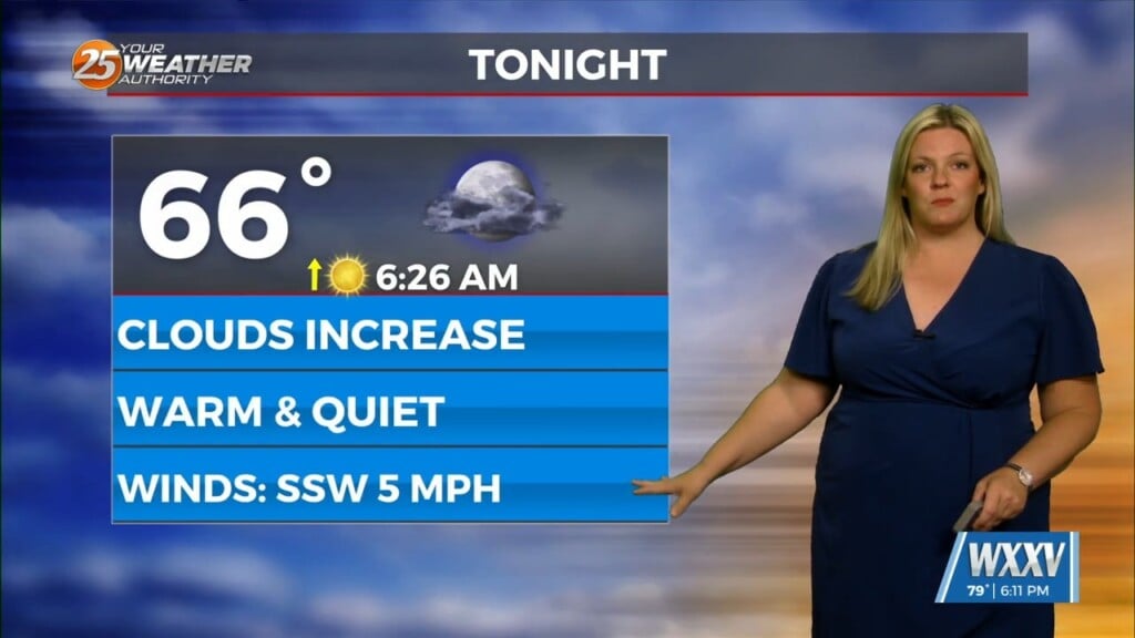
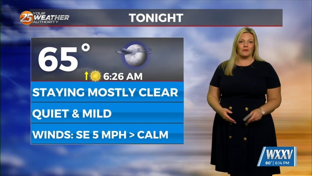
Quiet again going into tonight but we will have to watch for patchy areas of fog for those that see rain later today. Another system will develop over the south/central US and progress ESE over northern LA to central MS/AL along the stationary disturbance Tuesday night into Wednesday morning. Most activity will be to our north but as always, we will have to watch the system closely. Mid to late-week, big story transitions into the heat. High temperatures in the upper 90s are possible with heat indices in the triple digits next week. With this being said please exercise your summertime safety tips and encourage others to do so as well.


