4/4 – The Chief’s “Warm & Muggy Pattern” Tuesday Morning Forecast
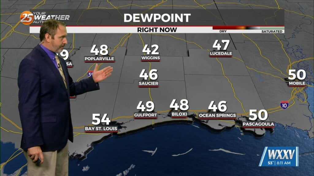
Starting out with early this morning, geez it’s a bit muggy! Moist, onshore return flow continues to pump low to mid 70 dew-points well north into Arklatex/nearing mid MS valley region. Above all, we are on the path to yet another very warm day today. While it won’t be a completely cloudy day, patchy mid/upper level clouds will keep it partly to mostly cloudy at times.
Very little difference in the forecast for Wednesday with another very warm day and same nudge with highs applied. Only difference may be a bit thicker clouds in the upper-levels as the same moisture corridor aloft tightens up and reposition right over our area from the MX plateau NE into the NE US. But, we’ll have to watch the then weakening cold front approaching us from the west, reaching somewhere across central LA/MS later in the day/evening hours.
Going into Wednesday night/Thursday, dominant high pressure will remain anchored in place over the eastern Gulf to mid-Atlantic States helps press the dynamic energy associated with the major storm system into SE Canada. The lingering effect is the remnant frontal orientation becoming aligned with mean low/mid-level flow causing it to stall. Still not seeing notable large-scale dynamic lift. Precip chances are noticeably higher in the 50 to 60% range mainly due to greater coverage, but be aware it will not be an all-day washout.
As with any lingering, stalled front… something to watch for is any influence in some mid-level impulse riding along and we see that later in the week as lingering energy over NW MX presses east. This will cause a noticeably much more widespread coverage in showers and storms through the Easter weekend.


