2/20 – Brittany’s “Spring-Like” Monday Evening Forecast
After a quick warm up into the upper 70s, scattered clouds from the west and increasing southwesterly winds have caused temperatures to moderate. Nonetheless, high temperatures still exceeded deterministic guidance today with some areas exceeding the 80 degree mark. The warming trend is set to continue into midweek as upper- level ridging continues to build in over the Gulf Coast with only slight chances for showers in SW MS into Central LA on Wednesday.
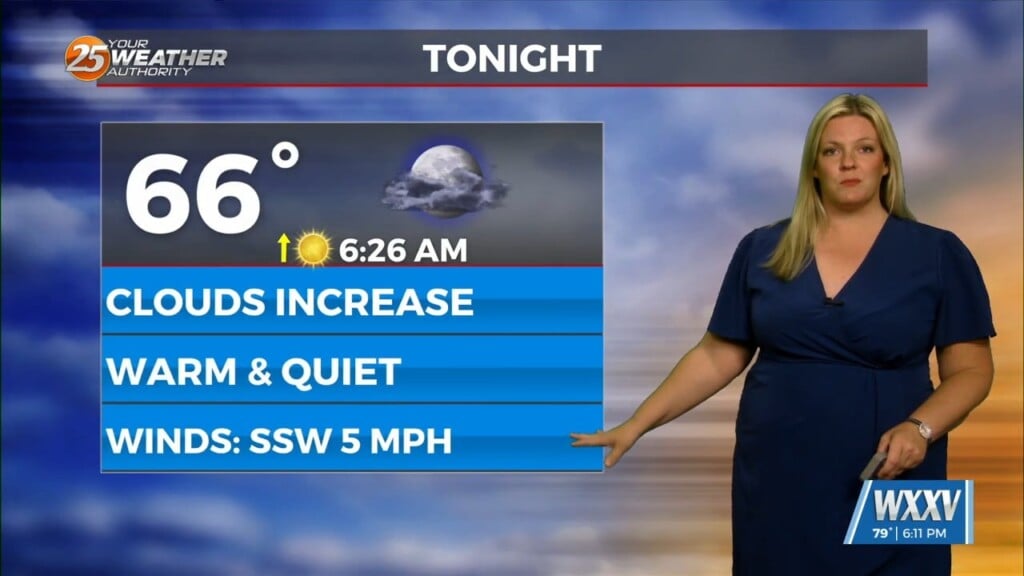
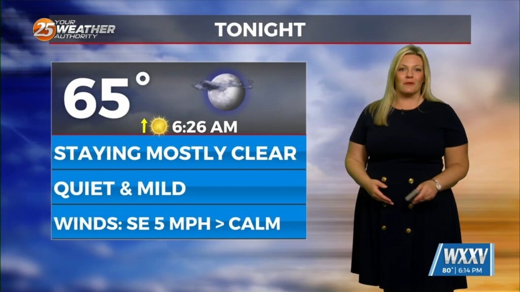
Tonight, temperatures will only gradually decrease as cloud cover and increased low-level moisture via southerly winds hold lows in the low to mid 60s. Some modest decoupling at the surface in combination with moisture advection could allow for development of sea fog along coastal areas. However, 925mb winds remain at 20-25 knots throughout the overnight hours and it`s more likely that whatever patchy fog condenses becomes low stratus as it moves inland. By morning, surface heating through the thin stratus layer should be able to lift the stratus and allow for efficient diurnal warming of areas into the low 80s. Winds will remain out of the southwest and intensify as surfaces warm and enable more vertical mixing. General timing and extent of cloud coverage will be the primary uncertainty regarding how high temperatures get tomorrow, but given how highs exceeded deterministic guidance today, temperatures were raised a couple degrees.


