2/13 – Jeff’s “Pleasant” Monday Afternoon Forecast
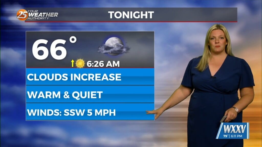
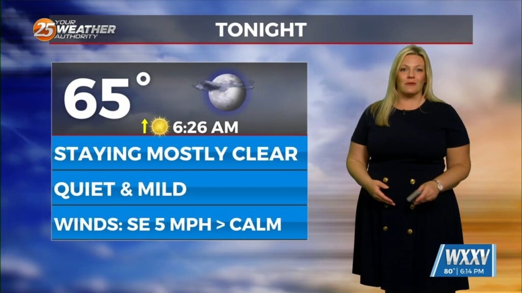
Sunshine has allowed for temperatures to warm efficiently. They will top out in the 60s this afternoon under continued sunshine. Light westerly winds will turn southwesterly tonight. This will aid in moisture increasing overnight. That combined a few clouds will keep temperatures from getting as cold as this morning.
More clouds will be in place for Valentine’s Day. They will not be rain producers. Temperatures will be a few degrees warmer in the afternoon tomorrow as compared to today. The moisture recovery will continue into the middle portion of this week. There will be a 30% chance of showers Wednesday.
A system moving out of the Four Corners will impact our weather in a potentially notable way. There will be ingredients in place for potential severe thunderstorms. The likely scenario for South Mississippi would be a squall line ahead of the cold front. With it is the potential for strong damaging winds and heavy rainfall. Fine tuning of details such as timing and the location of the low pressure will come to fruition over the next couple of days.
The cold front is poised to bring a sharp cool-down to end the week. However, any festivities this weekend look like they will not be impacted in any adverse way!


