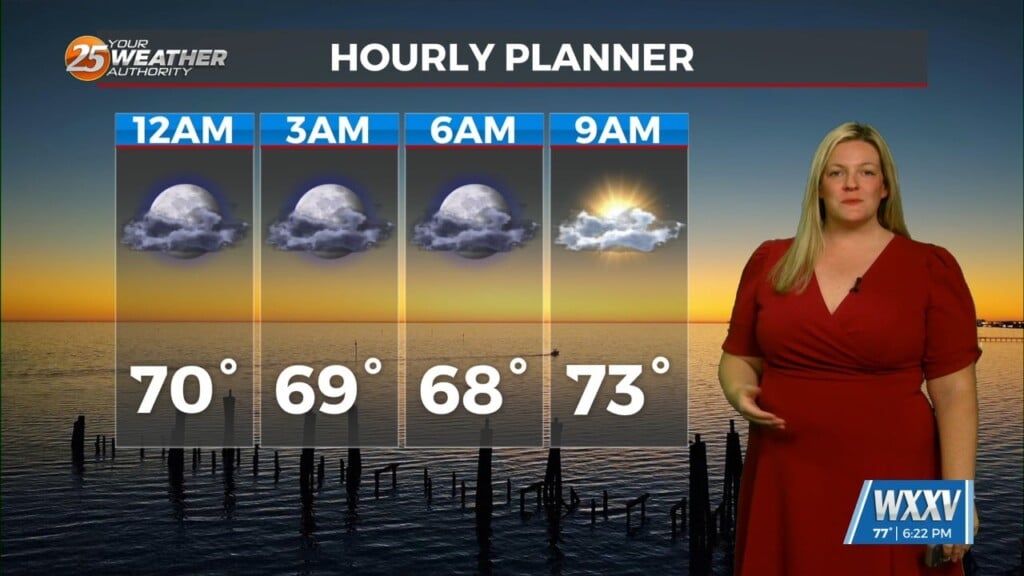
01/06 – Brantly’s “Clouds Building” Wednesday Morning Forecast
High pressure will move off to the east of the area by this afternoon. A low pressure system will dig through northeast Texas by this afternoon bringing a fast moving cold front into the Gulf Coast states. Numerous showers and thunderstorms will move eastward into the area by this evening out ahead of the frontal boundary. The risk of any severe weather is minimal at this time with mostly just rain showers being produced and maybe a few rumbles of thunder possible through the overnight hours tonight and into early Thursday morning. Drier and much cooler conditions will persist from Thursday afternoon and continue through Friday with temperatures only rebounding into the lower and middle 50s on Thursday and Friday. Near or below freezing temperatures possible Friday night/Saturday morning north of the I-10/I-12 corridors as winds relax and skies remain clear.
Dry conditions continue Saturday into the first part of the day Sunday, before the next system approaches from the west late Sunday afternoon and Sunday night.
There continues to be some indication with some of the weather models that enough moisture could be present our inland areas to support light precipitation during this time. Cold air moving in with northerly winds persists across our area through the weekend and into the early part of next week. If there is enough moisture present when the next system arrives, there is a possibility of a brief potential of a light rain-snow mix over interior portions of South Mississippi.


Leave a Reply