07/22 – Rob Knight’s “Increasing Rain Potential” Wednesday Morning Forecast
The trend for overnight showers/t-storms developing nightly with storm motion towards the coast continues. This trend will intensify over the next few days, especially Thursday. Moisture flow will increase significantly through tonight lending to the potential for heavy rainfall with any particular cell. But the good thing is that all of this activity looks to be moving at a good pace so they should not hang out over any one location.
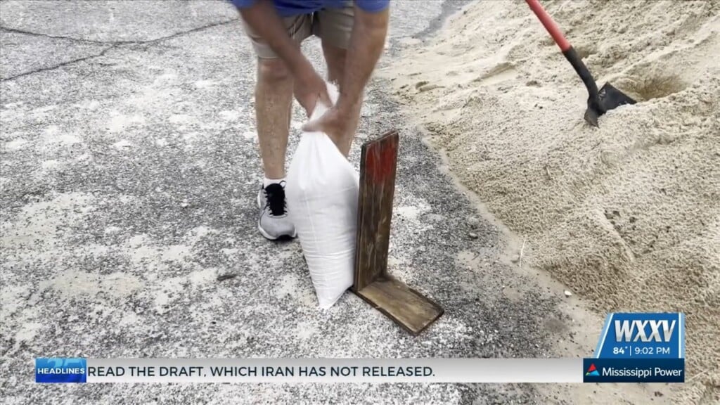
Thursday through Monday: There will be quite a variance dependent on the eventual development of tropical disturbance, currently moving into the east-central Gulf of Mexico. The upper axis should be passing through the forecast area Thursday with deeper tropical moisture in place for periods of heavy rainfall throughout the day.
Regardless of development trends, the forecast area will likely remain within a deep fetch corridor of tropical moisture from the Caribbean Sea to maintain a heavy rain/flood threat Friday. By the weekend, the influences of Invest 91L should have run its course, reverting the area back to typical summer land/sea breeze regime of very hot temperature trend with little day-to-day change Friday night onward. Rain chances also trend to around normal for this time of the year at around 30-40 percent each afternoon/early evening.


Leave a Reply