9/14 – The Chief’s “Less Humid Flow Continues” Wednesday Afternoon Forecast
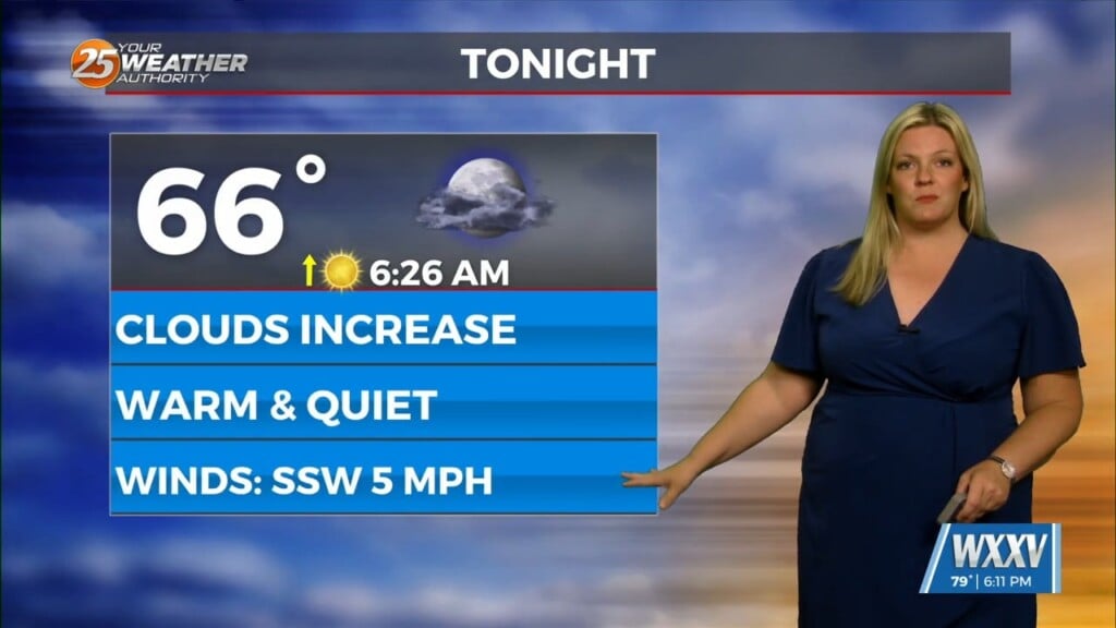
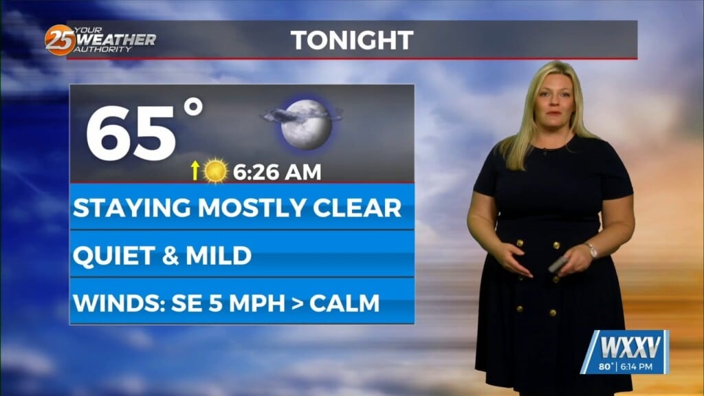
With a surface cold front to the south going stationary, drier air north of the front will continue to keep the area under pleasant conditions (low humidity). Clear skies this afternoon will continue tonight as winds from the NE will begin to taper off around sunset.
The upper level support that brought this boundary to the area is quickly pushing east. That means cold air advection will be coming to an end today. From a temp perspective, just a slight bump in highs/lows expected over the next 24 hours as the upper support lifts and high pressure starts to move in. It’ll be more noticeable on Thursday as highs start to return back to normal. Rain chances will persist in the coastal waters but nothing really expected for the majority of the area where moisture is very low. By Thursday night, high pressure that was situated over the area will flatten out and shift eastward due to an advancing disturbance over the central plains. Because of the eastward shift, onshore flow will begin Friday night, causing better moisture to creep back up into the area from the gulf. This would return us back to the typical summertime convection regime enhanced by local lake and sea breeze boundaries.


