9/2 – The Chief’s “Labor Day Weekend” Friday Morning Forecast
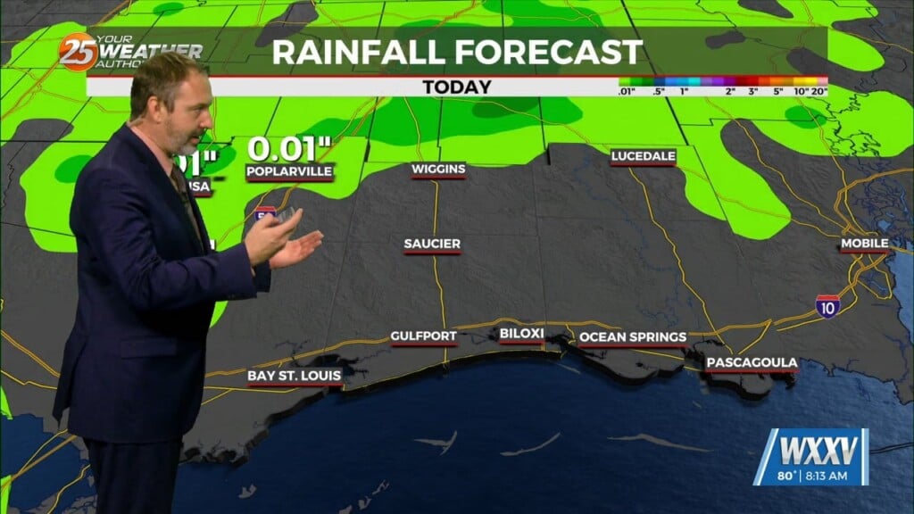
Going into Labor Day weekend, the general thought is that the dry pattern we’ve enjoyed (although hotter) will likely come to an end this weekend. Aloft, the upper level flow will begin to shift to a more active southwesterly flow as the region should remain on the northwestern periphery of an area of high pressure. The area will be under a potential for showers/t-storms reside this afternoon and evening, although anywhere in the area is fair game for convection as again the boundary layer moisture increase.
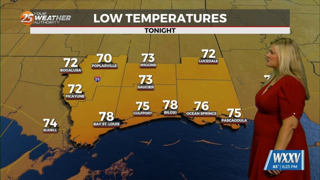
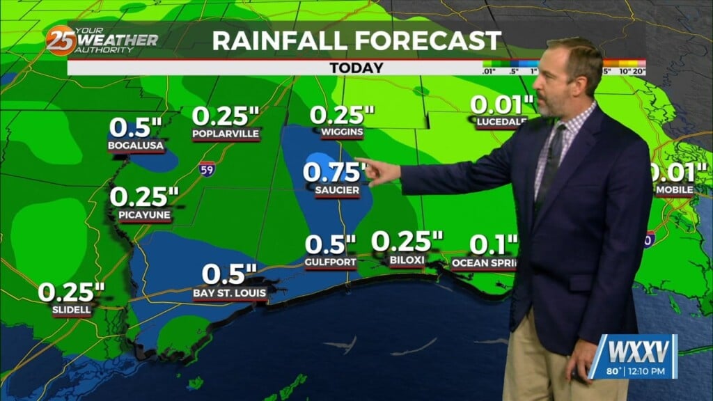
Area wide, expect coverage to increase on Saturday as even deeper tropical moisture begins to filter into the region. Generally, storm motion would likely be driven by cold pool propagation. With the stagnant wind profile suspect we’ll continue the need to mention the threat for pockets of heavy rainfall. We will likely see max temperatures begin to trend downward during the weekend as the “warmest” part of the day will see a strong uptick in clouds and rainfall.
The wet pattern will persist early next week and even into mid-week. The upper level trough does not lift and we get continuous flow of tropical moisture for a few days. During this period, the warm and moist environment will make for some pretty efficient rainfall. With saturated soil due to all the rain we have gotten over the last few weeks combined with slow storm motion, I would not be surprised to see some localized flash flooding in some areas. The higher rain chances will limit afternoon temperatures to the mid to upper 80s through the period.