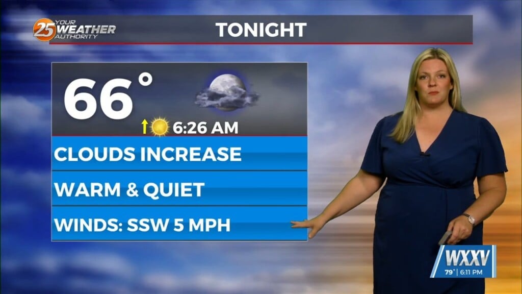
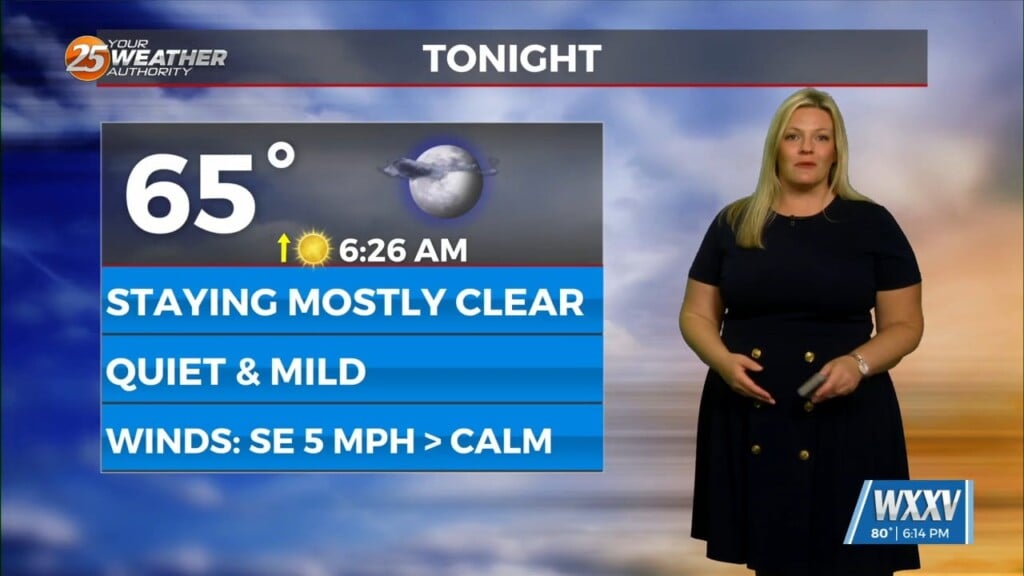
8/30 – Brittany’s “Mild” Tuesday Evening Forecast
A frontal boundary is expected to move into the area late tonight and stall over the area by tomorrow afternoon. This front will bring stout mid-level dry air into the area. High resolution models agree mid-level RH values around 10% will advect into the area by mid morning tomorrow. The dry air will likely suppress convection for the most part, so PoPs were lowered to account for this. This will in turn raise temperatures as we will have compressional warming from the dry air.
The front could serve as a focus for the isolated convection to form on. So, isolated strong to severe downburst winds is possible for tomorrow. Models also agree that PWs will back down in response to the dry air, so values will be around 1.6-1.8 inches across the area. Because of this, heavy rainfall is not a major concern for tomorrow as well.
Thursday will be fairly similar to Wednesday. The main difference with Thursday is that the front looks to wash out over the coast, so there will not be a focus for convection to ignite off of besides the typical lakebreeze and seabreeze boundaries.


