9/7 – Brittany’s “Wetter Conditions Ahead” Wednesday Afternoon Forecast
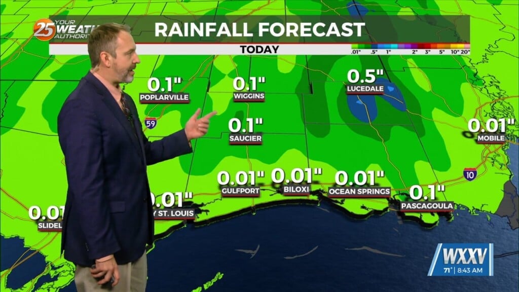
Tonight, some scattered showers and storms will be possible,especially in the northernmost areas.
Through the end of the week, an upper level low is expected to influence the area, enhancing rain chances for the region. There are still some uncertainties in the models regarding how much cloud cover will develop and how quickly the environment can destabilize, especially Thursday. Scattered showers will be possible tomorrow, looking at the model consensus. Locally heavy rainfall could be possible in isolated areas. Some models keep tomorrow a bit drier, though, so we will have to see how the environment looks in the morning. If there is less cloud cover, we will have more of a chance to see higher coverage. Friday, the upper level low pressure system is expected to lingering the area, and the general environmental conditions will not change much. PoPs are higher Friday in the forecast to account for the more abundant moisture and higher instability in the environment. This is not set in stone of course and small changes in the environment and the development of the pattern over the next day or two could have a big difference in the rainfall potential. But in general scattered to numerous showers and storms will be possible Friday, especially during the afternoon hours. Locally heavy rainfall will be possible in isolated/vulnerable locations, but widespread flooding is not anticipated at this time. Gusty sub-severe (30-60mph) winds could be possible inside of stronger storms on Friday along with lightning.


