9/22 – The Chief’s “Final Day of Summer” Thursday Morning Forecast
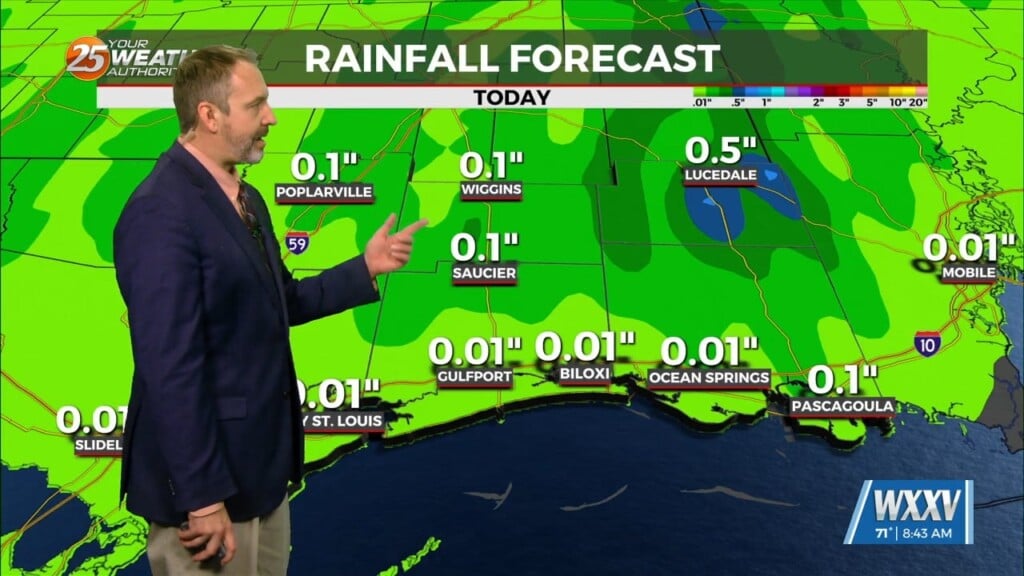
High pressure has actually drifted a little further west than expected, and is now centered over west Texas northward into the Dakotas. This pattern will continue as a weak dry front moves south through the area Friday morning. The atmosphere will be warm enough to preclude any significant convection today or tomorrow. Highs on Wednesday actually got slightly higher than forecast, with several locations reaching 97 degrees, including Gulfport, which tied their record for the date (2005).I don`t see a reason to make significant adjustments from previous Forecast. Guidance has been insistent on a weak frontal boundary moving into the area, probably from the northeast, with more of a push of dry air than anything.
High pressure will hold on one more day on Saturday, with high temperatures pretty similar to Friday. Another disturbance will move across much of the eastern half of the country beginning on Sunday. This will force a frontal boundary into, and likely through the area Sunday afternoon and Sunday night. There may be just enough moisture to promote some scattered convection at that time as the front approaches. Moisture values will then drop by Tuesday. This will drop highs into the 80s across the area for the midweek period. There’s certainly some possibility that our forecast overnight lows as we get into Tuesday and Wednesday mornings may not be cool enough. Model guidance drops dew-points into the lower and middle 50s across the northern half of the area.
Of course, there’s Invest 98L in the southern Caribbean that everyone is watching. Even the fastest guidance solutions keep it in the Caribbean through Monday night, which would provide no significant influences on our forecast through the end of the forecast period, which is Wednesday afternoon. Model solutions are significantly different than each other, among others, so focusing on a particular deterministic solution right now would not be advisable. That being said, it’s important to continue to monitor official forecasts for the next several days and beyond as forecast confidence increases.


