9/22 – Brittany’s “Final Hours of Summer” Thursday Evening Forecast
ENTER AUTUMN
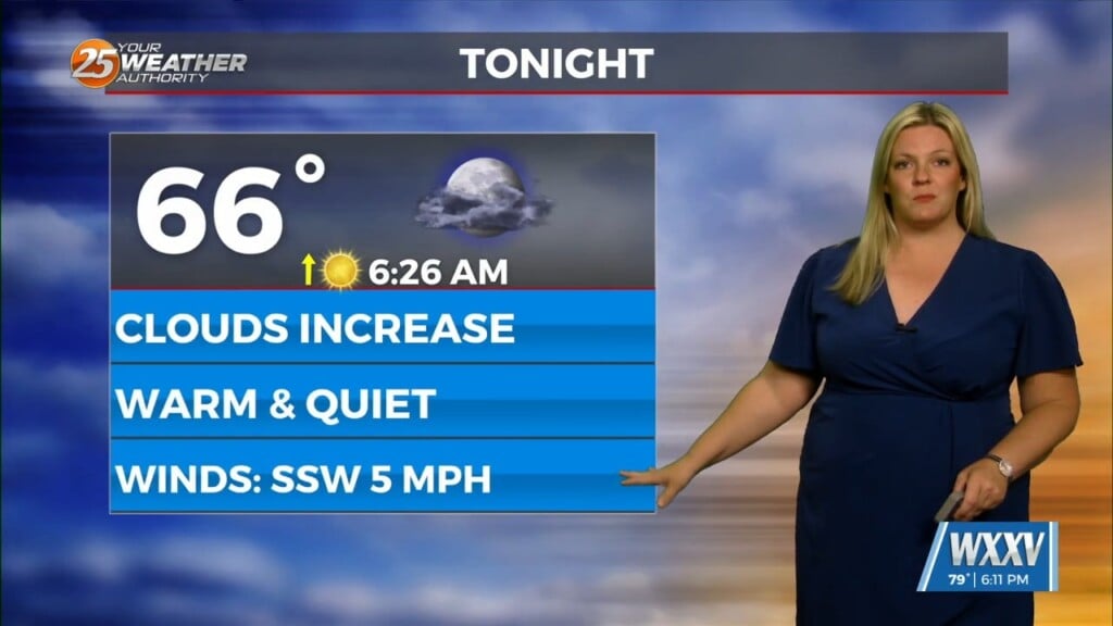
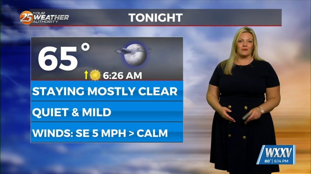
After another HOT day, subtle changes will over overnight into Friday morning. Expect clear skies and mild temperatures overnight as guidance has been insistent on a weak frontal boundary moving into the area. This will be from the north with more of a push of dry air than anything else.
High pressure will hold on one more day on Saturday, with high temperatures pretty similar to Friday. Another disturbance will move across much of the eastern half of the country beginning on Sunday. This will force another frontal boundary into, and likely through the area Sunday afternoon and Sunday night. There may be just enough moisture to promote scattered t-storms at that time as the front approaches. Moisture values will then drop by Tuesday. high temps will drop into the 80s across the area for the midweek period. Model guidance drops dew-points into the lower and middle 50s across the northern half of the area…meaning overnight lows could drop into mid-50s.
Of course, there’s Invest 98L in the southern Caribbean that everyone is watching. Even the fastest guidance solutions keep it in the Caribbean through Monday night, which would provide no significant influences on our forecast through the end of the forecast period, which is Wednesday afternoon. Model solutions are significantly different than each other, among others, so focusing on a particular deterministic solution right now would not be advisable. That being said, it’s important to continue to monitor official forecasts for the next several days and beyond as forecast confidence increases.


