9/21 – Brittany’s “Hot” Wednesday Evening Forecast
We will remain in a high pressure and ridging pattern through the period. This has been keeping conditions hot and dry the last couple days and this will continue to be the main focus through the forecast period. We reached the low to mid 90s in the majority of the CWA today. Thursday is expected to be the hottest day of the week, even reaching near or at record in some areas, with temperatures forecast in the mid to upper 90s. This hot temperature pattern is expected to hang around through late week and even into the weekend. In terms of precipitation we have been dry lately and this will also continue.
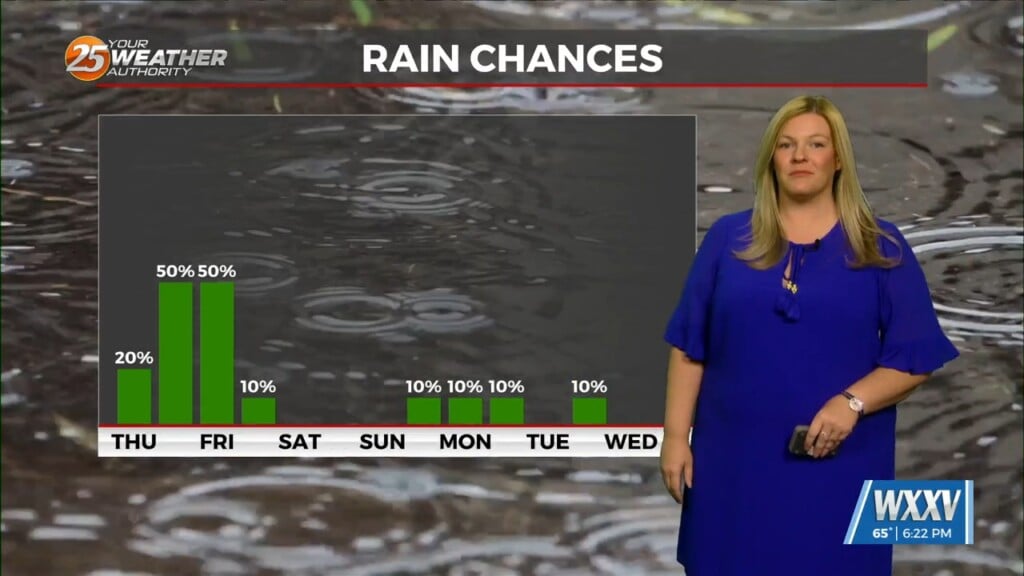
The start of the long term will be similar to the short term. The ridge over Texas will still be around, keeping the subsidence and warmer upper level temperatures in place over us. Because of this, expect to be hot and dry to start the period. Medium range models agree that the ridge to the west of us really starts breaking down late Saturday into Sunday as a trough from the northern Plains digs into the central CONUS. Because of this, slightly higher PW (~1.7 inches) returns to the area as well as slightly cooler air aloft. This gives Sunday the best chance to see rain.


