9/20 – Chris’s “A Touch More Humid” Wednesday Afternoon Forecast
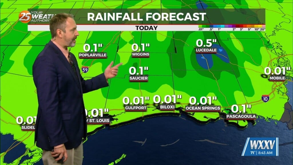
A dry northwesterly flow aloft continues over the region. An impulse of energy to the south will begin to amplify a bit later this morning and into this afternoon. This feature may help develop showers and thunderstorms, mainly over the coastal waters. To the NW another upper level disturbance will begin to follow the northwesterly flow from the Ozarks and continue to strengthen. This will eventually collide with the area of low pressure over Florida late tonight and into Thursday. Generally, the region will continue to be influenced mostly by the high pressure. Temperatures will continue to be a few degrees above average during this period, and relative humidity values will continue to struggle to elevate.
With a developing low pressure system off the east coast and high pressure residing over northern Mexico and south Texas, our region will remain in the rather dry northwesterly flow. Thursday and Friday an impulse to the NW will move through the southeast US. This feature will weaken and move to our east, providing for a shower or thunderstorm on Friday, with the same overall pattern into this weekend. Impulses of energy will continue to move southeast within this flow. Temperatures will continue to be above average into the first weekend of autumn with a slight chance of showers and thunderstorms.
Toward the end of the period, the pattern will begin to change slightly as a cold front and an area of low pressure will move southward towards our region. This feature will bring below average temperatures and slightly more elevated rain chances.


