9/19 – The Chief’s “Lovely Weather” Tuesday Morning Forecast
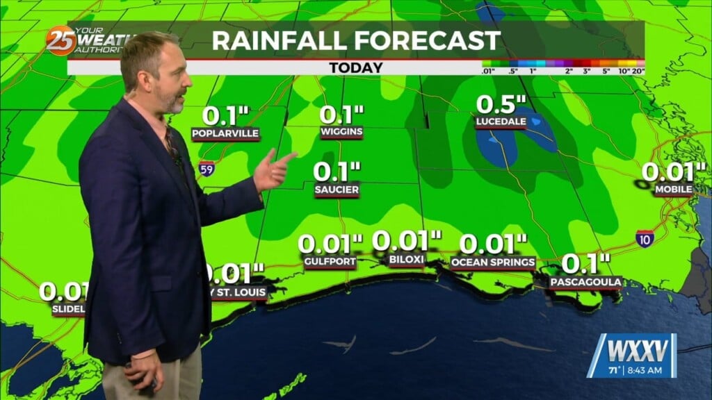
We have clear skies and cool temperatures across the area this morning with the warmest conditions right along the immediate coast. A surface high pressure system remains mostly in control across the eastern half of the nation, which is leading to more mild weather. In the Gulf of Mexico there is a stalled front well south of our coastal waters, which is where the showers and thunderstorms will remain. Today will likely be very similar to days past in terms of rain potential and temperatures. Through tonight and into Wednesday the stalled front tries to lift northward back closer to the Gulf Coast. Additionally, another high pressure tries to amplify over the ArkLaTex as the previous energy tries to move downstream over Florida. This may be just enough to help generate a few isolated to scattered showers and thunderstorms over the coastal waters, especially later tonight and early Wednesday morning.
Dry conditions are expected to continue for most of the area to begin the long term period. However there is a chance of showers and thunderstorms on Thursday afternoon with a weak easterly wave moving across the NE Gulf of Mexico. Gorgeous conditions will remain through the weekend as average (87) to just above average daytime high temperatures continue. The lower humidity will also aid in keeping heat indices closer to the ambient temperatures. Shower and thunderstorm chances will be non-existent Friday through Sunday. By Monday a cold front west of the area will increase rain chances slightly, however temperatures will remain the same.


