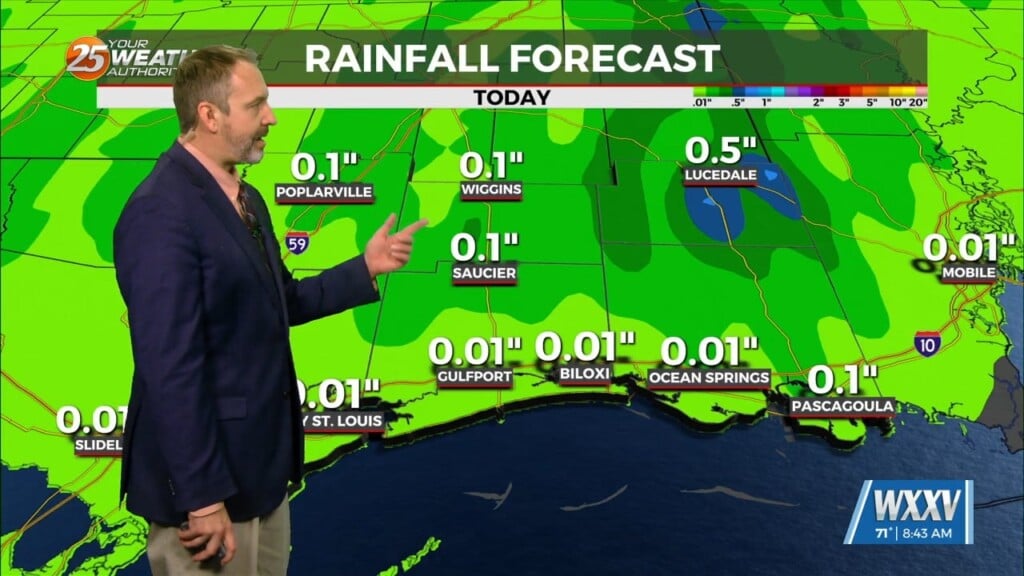
9/14 – The Chief’s “Daily Showers and Thunderstorms” Thursday Afternoon Forecast
The upper level trough that brought the current stalled front across the area is currently east of the Ohio River Valley and quickly moving eastward. That leaves the local area with a region of west to east flow. This is why the front is stalled roughly along the Mississippi Sound. Although there`s only about 5 degree difference in dew point between north/south of the boundary, this feature will be some form of a focal point for showers and thunderstorms later today. With the combo of increased cloud coverage, thunderstorm activity, and slightly cooler air to the north should keep daytime high temperatures just above average. This will continue throughout Friday and Saturday as the front will stick around until Saturday evening.
A trough of low pressure moving out of Canada will bring a slightly stronger front to the area late this weekend. This will increase rain chances for Monday and cool temperatures for Tuesday and Wednesday. This will be the first real cold front of the year with daytime highs in the mid-80s and overnight lows in the upper 60s.


