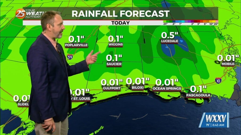
9/12 – Chris’s “Spotty T-Storms” Tuesday Afternoon Forecast
An upper level trough of low pressure is currently ranging from Canada across the upper/mid-Mississippi Valley and will continue to rotate through the Ohio River Valley Wednesday. With the base of the trough generally north of Tennessee, the cold front associated with the trough will dissipate as it reaches the area.
This afternoon there is a chance for isolated shower and thunderstorm. A better chance for afternoon showers and thunderstorms will come on Wednesday as the front moves closer. Temperatures for the next couple of days will be above average and humid, however heat indices values will stay below advisory criteria. The unsettled pattern will continue through the weekend with a chance of afternoon shower and thunderstorms each day, although minimal rainfall is expected.


