9/1 – Brittany’s “Changes Ahead” Thursday Evening Forecast
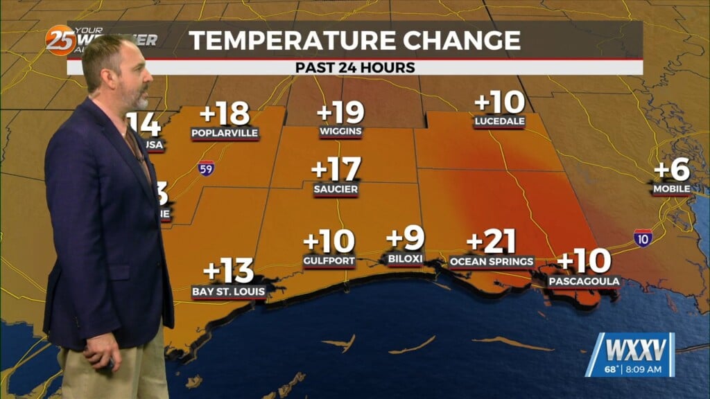
The dry conditions have been nice for a short time, but the rain will return over the weekend as the pattern changes. Southerly surface winds will act to enhance moisture and warm air advection into the area, which will enhance the instability. PW values are forecast to be around 2 inches, which is above the the percentile for the SPC sounding climatology. As a result, storms that develop will be more efficient with higher rainfall rates (1-3 inches an hour). Looking at the models, scattered to numerous showers and storms are likely daily for the next few days, especially during the afternoon and early evening hours. Locally heavy rainfall will be a concern given antecedent wet conditions and slower storm motion/shear. The positive side of the rainfall and cloudy conditions returning is that the temperatures will be cooler and closer to normal over the weekend. Rainfall chances will remain enhanced as we head into the next week thanks to a lingering boundary.


