8/30 – Sam Parker’s “Rain Not Going Away” Friday Evening Forecast
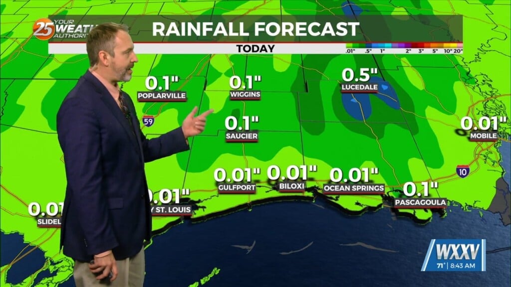
Low level flow will continue to pump tropical moisture into the local area, resulting in widespread showers and storms. Have extended the flood watch through 7pm Saturday, covering Hancock, Harrison, and Jackson counties. Once again the main concern will be across the more urban areas where higher rainfall rates can quickly overwhelm short term drainage capacity. Overall rainfall totals tonight and tomorrow are generally forecast to be 1-2″ in the watch area, which spread out over time would not be a problem. As a side note, the NHC is now indicating a 10% chance of development in the next two days (20% in the next 7 days). This really doesn’t change anything in our forecast, though, since it`s such a small chance of development and the main impact will be potential for heavy rain, which is already being highlighted. The cloud cover and showers will keep afternoon temperatures below our climate normal, while the increased low level moisture will keep overnight temperatures above our climate normal.


