8/24 – The Chief’s “THANK Goodness, More Rain Ahead” Wednesday Afternoon Forecast
Today through Friday, high precip chances along with high rainfall rates will remain the topic along with an environment conducive for waterspouts. The surface low remains over east Texas with a trough extending east over Louisiana and Mississippi as a focus, this coupled with rapid and broad diffluence aloft and elevated moisture flow values…the necessary ingredients for the heavy tropical rainfall. Movement of these features is not expected over the next few days but instead should begin to decay, albeit slowly.
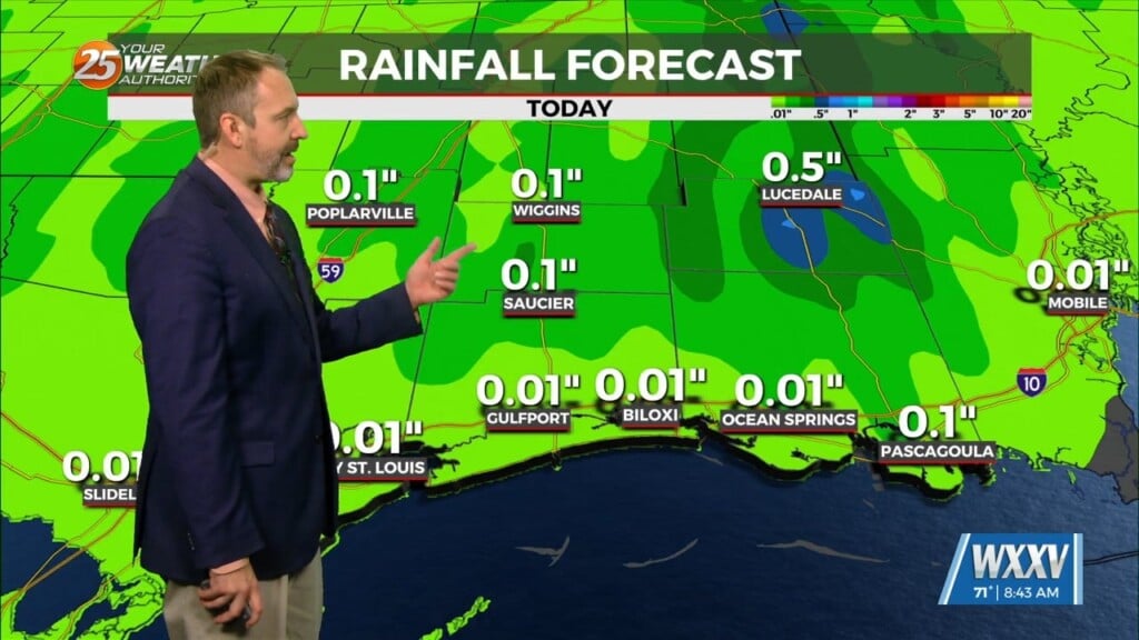
WPC is showing a slight to moderate risk of excessive rainfall over these areas. Locally, we have a slight risk for today and a flood watch will also remain for the northern tier of the southern six counties. Rainfall amounts should range from 1 to 3″ but the area can handle these amounts over a long duration. But the rates will be more of the issue with some of these thunderstorms capable of producing 2 to 4″ per hour. This will remain the biggest reasoning for the flood watch as these amounts will be falling on saturated grounds. Showers/t-storms will be moving northward and this should be enough to keep areas from getting high rainfall tallies. Thursday and Friday look somewhat similar but with maybe a few less Showers/t-storms each day. But coverage will still be quite high.
Starting on Saturday a weak area of high pressure will take control of the forecast for the weekend. This brings in a bit more dry and stable air. Regardless of this, diurnally driven showers and thunderstorms will persist, likely firing along the sea and lake breeze boundaries. With more breaks in cloud development, we also see temperatures return to the upper 80s to low 90s through the weekend and into early next week.


