8/23 – The Chief’s “ALL TIME Record High Temps” Wednesday Morning Forecast
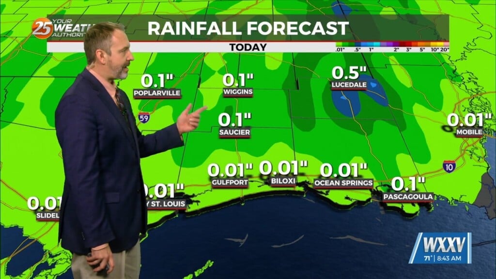
An EXCESSIVE HEAT warning is in effect as this OPPRESSIVE summertime pattern continues. An easterly wave is currently located from Appalachia Bay FL down to the NE’tern Gulf of Mexico. This wave will also get flattened down on its northern end but will help produce a few showers/t-storms mainly over marine areas, but one or two of these could sneak ashore Thursday. This is the only reason for the 20% precip numbers in a few locations.
Well above seasonal temperatures will continue to be the trend as an area of low pressure near Seattle this morning will kick out into southern Alberta later today and quickly move toward the Great Lakes. This will produce a cold front that will race southward over the next few days. The Minor disturbance helping to kick this front southward and dig the east coast upper trough will be picking up Franklin by late Friday or early Saturday. The associated front will stall over the MO/AR state line Sunday. But another strong disturbance will be fast on the heels causing further digging of this upper feature over the east coast and bringing this cold front farther south.
Don’t get any hopes up; it doesn’t look to make it to our area with any appreciable relief. But what it will help do is provide a weakness over or just north of the area so that more showers/t-storms can develop a bit easier and some of these should move southward into the area by the start of next week. Getting into mid next week, there are a few disturbances that drop into the east coast trough and try to budge this front southward but this seems to be far fetched as high pressure will have moved back west for a few days.


