8/16 – The Chief’s “Seasonal Temperatures Today” Wednesday Morning Forecast
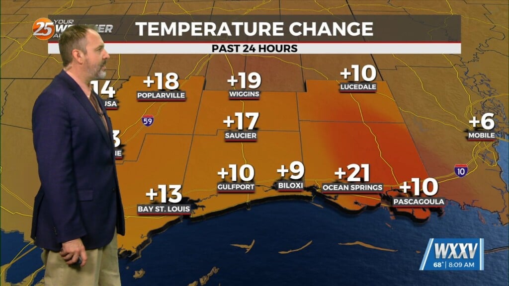
Early this morning, a disturbance extended from Lake Ontario to near Memphis, southwestward into east Texas. Showers and thunderstorms yesterday afternoon brought much needed rain to the area as the cool (Not Cold) front has slipped directly overhead this morning. Quite a bit of upper level cloud coverage across the area has prevented temperatures from cooling as much as they could have to this point of the night.
Any precipitation today or tomorrow should be limited to the outer coastal and the open coastal waters. Fortunately, dew points are expected to run 10-15F lower today than yesterday across the area. This will keep heat index values well below what is needed for Heat Advisory criteria, let alone warning criteria. Overnight lows tonight will actually be near or below normal across the area. Highs on Thursday should be 3-5 F warmer with mid 90s expected. While there will be some recovery of dew points on Thursday, heat index values are expected to remain short of advisory levels.
High temperatures Friday and Saturday will probably top out near the upper 90s, and there will be enough of an increase in dew points to necessitate at least Heat Advisories. Can`t rule out the need for Excessive Heat Watches/Warnings, but the current forecast numbers are more representative of advisories. Increasing potential for precipitation late in the weekend and early next week will lead to slightly lower high temperatures.


