7/28 – Rob’s Tuesday Morning Forecast
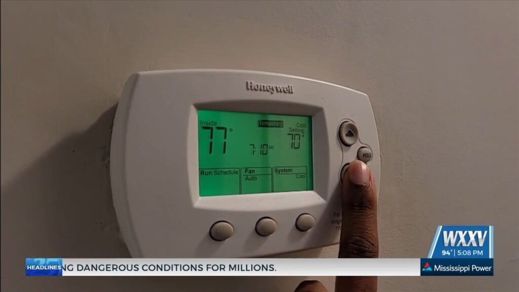
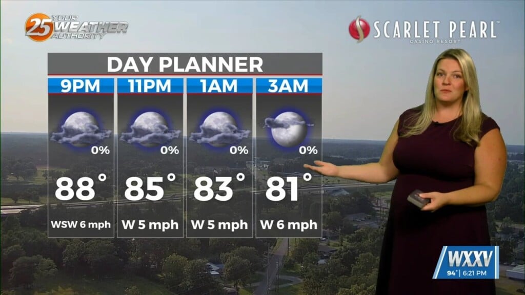
Sandwiched between a strong high-pressure system moving west, and a low-pressure system in the NE’trn Gulf of Mexico…HOT conditions will continue. Although temps will continue to be in the mid/upper 90s, the moisture flow will decrease so HEAT INDICES will lower into the upper 90s. Rain chances will continue to be low through Thursday before a return flow begins and dramatically increase t-storm potential Friday through the weekend.


Leave a Reply