7/9 – Rob Knight’s Friday Morning “Hot/Humid” Forecast
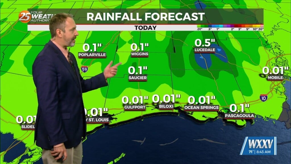
Today through Sunday, scattered showers and t-storms and enhanced rain chances will be possible, especially each afternoon. Southerly surface winds will help to enhance the warm air and moisture advection into the area, which will enhance the lifting in the environment. Upper level divergence, mainly today, will help to enhance buoyancy in the environment, which will also enhance the rainfall efficiency. Given these parameters and looking at the models, locally heavy rainfall inside thunderstorm development will be a concern over the next few days, especially Friday. Higher rainfall rates will still be possible inside thunderstorm development, particularly on Friday.
Early Monday morning through Tuesday, an upper level disturbance will move through the area and linger over the region. This trough will bring enhanced rain chances and more organized weather to our area, particularly Monday afternoon. Overall, locally heavy rainfall will be a concern Monday into Tuesday, and high rainfall rates will be possible with this system moving
through, particularly during the afternoon hours. Lightning and gusty winds will also be possible with this system moving through the area. And waterspouts will be possible inside t-storms that form over the marine areas Monday and Tuesday.
Wednesday and Thursday, a more normal summertime pattern will dominate the area.


