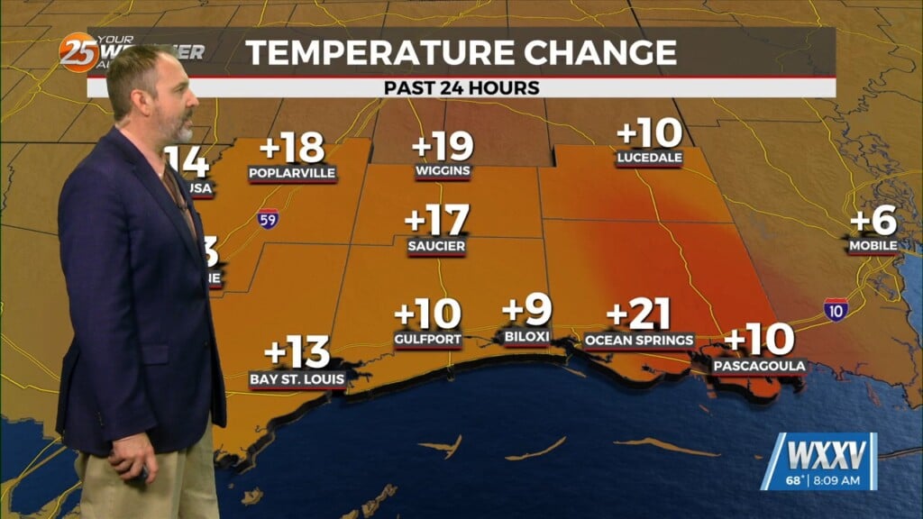
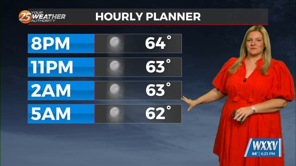
7/24 – Brittany’s “Muggy” Sunday Evening Forecast
Through Tuesday, the upper ridge flattens as low pressure systems move through southern Canada. With ample moisture in place, and only weak influence of the upper ridge, generally scattered showers and thunderstorms are expected each afternoon.
Precipitable water through the short term is expected to generally stay around 2 inches which is right around the 75th percentile for this time of year. That being said, a few storms could be efficient rain makers, with instantaneous rates of 3+ inches per hour. This means we can`t rule out some localized ponding of water in low lying or poor drainage areas if a heavier storm occurs over especially the more urban parts of the forecast area. Afternoon temperatures forecast to reach the low to mid 90s most places each afternoon.
By Wednesday we start to come under more influence of a deep upper low over Canada with a trough axis extending southward through the middle part of the country. This forces the main ridge to split in two with centers over the western CONUS and eastern Atlantic. We`ll also be on the western periphery of surface high pressure, keeping winds southerly to southeasterly.
In spite of this, Wednesday itself doesn`t look overly active with respect to convection. In fact, some model guidance suggests a small pocket of drier air (relatively speaking, let`s be honest) could move through the area, dropping PW values down into the 1.6 to 1.75 inch range. While this isn`t overly dry – it`s still between the 25th and 50th percentiles – it could be enough to hamper convection slightly.
By Thursday, whatever “dry” air may have moved through the area on Wednesday will be long gone with deep southerly to southeasterly winds pumping Gulf moisture into the area. A shortwave diving southeastward on the west side of the upper low over eastern Canada should make its presence known all the way into the lower Mississippi Valley, resulting in an increase in cloud cover and POPs – especially on Friday. Additionally PWs are expected to rebound to near 2.2-2.3 inches on Friday. That should make for some pretty efficient rainfall, so will need to keep an eye on potential for heavy rainfall.


