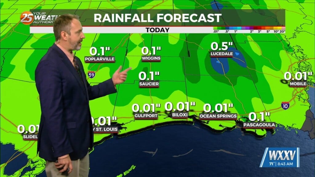
7/19 – Sam Parker’s “Rainy Day” Friday Evening Forecast
Rain continues to make its way through southern Mississippi Due to a deep upper level trough over the south eastern U.S. and a weak low pressure heading into central Mississippi, a stationary front is hanging over the area. This is allowing for moisture from the Gulf to continue and increase rain totals into Friday night. With all this rain, a good chance of storm development will continue over the next couple of days. The main issue with these storms will be the possibility of flooding as they are going to be most heavy with rainfall. These storms are strong few of these storms have the potential to become severe but not likely. At least this means the heat index values are much lower this week compared to the previous two weeks. As actual temperatures range from the 70s through the next few days and upper 80s throughout the respective daytime, heat index values remain in the mid 90s, as opposed to the above 100 values we`ve been seeing earlier in the month.


