7/13 – The Chief’s “Tropical Moisture Continues” Thursday Morning Forecast
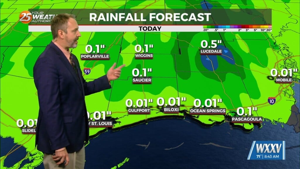
There is no distinct change in the state of the atmosphere compared to yesterday, with tropical airmass in place. With temperatures expected to be in the upper 80s showers and thunderstorms are likely going to have an easier time forming today. We could also have an earlier increase in activity in conjunction with a complex of showers and thunderstorms to our north. Once diurnal thunderstorms get going later this morning and especially into the afternoon, the main threats will again be sub-severe wind gusts and heavy rainfall.
Going into the afternoon and evening, our eyes turn to the north to an ongoing MCS (Complex of Thunderstorms) over KS/MO. This complex is going to decay heading into the mid/late morning hours tracking south into central MS by around noon. If this could clip into eastern portions of the area, or east of I-55, or at a bare minimum surges a boundary south it will aid in enhancing more coverage later this afternoon. This will lead to more heavy rain and strong thunderstorm concerns. The area is under a MARGINAL to SLIGHT risk for isolated flooding today with efficient rainmakers capable of producing 1-2 inches per hour.
We eventually turn quiet tonight, however we again may be dealing with a lingering line of showers/thunderstorms over our area, it will weaken quickly after sunset. Same story on Friday as we will watch another complex of thunderstorms evolve to our north. Regardless if it makes it into the area, another day of hit-or-miss showers and thunderstorms are in the forecast.
Late in the weekend an area of low pressure drops out of Canada toward the Great Lakes. Generally, this shift will drive a very slight rise in temperatures and decrease in precipitation; however on Sunday an increase in available moisture will elevate rain chances. Temperatures will be seasonable Saturday and Sunday in the low 90s.


