7/13 – Rob Knight’s “Elevated Moisture Flow” Wednesday Afternoon Forecast
The Bermuda high pressure extends into the far eastern Gulf of Mexico and a weakness between it and the ridge to the west. Abundant moisture exists along the western edge of the Bermuda ridge from the northern Gulf of Mexico…northeastward towards the Carolinas. There’s a fairly sharp gradient in moisture with well above average instability in the area.
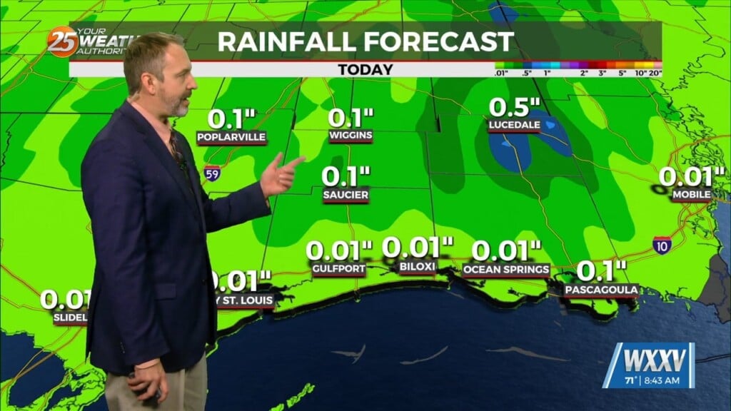
T-storm activity will begin to drop off this afternoon. I will say confidence is a bit on the low side in regards to how much coverage we’ll see this afternoon. However, hourly rainfall rates could be quite intense…on the order of 3 to 5″ in an hour (though may only last for 30 minutes).
Thursday will just be a continuation of diurnally driven convection, mainly focused along the stalled frontal boundary that may sag southward across the area. As Friday comes, the boundary should effectively be dissipated and subsidence looks to creep in from the ridge still situated west of the region. This should result in a drop in coverage and overall intensity. A very stagnant pattern looks to set up across the country for the remainder of the forecast period. The upper ridge remains centered near AZ/NM with weakness in place over the eastern half of the country.


