6/7 – The Chief’s “Pleasant Start” FriYay Morning Forecast
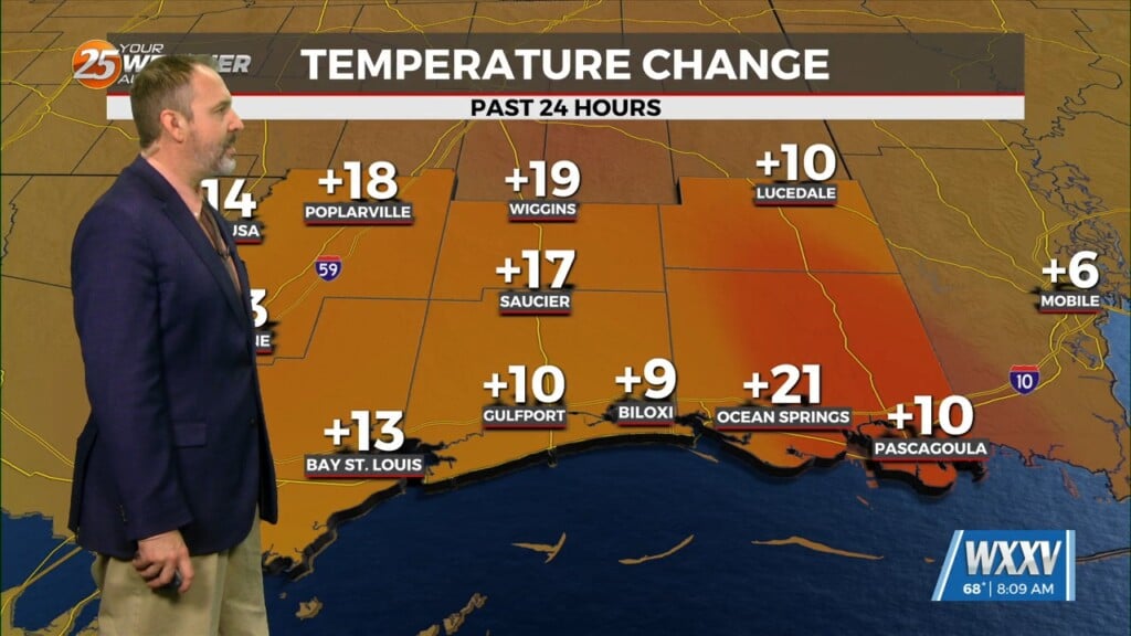
The very weak front has finally settled and now stalled in the outer-coastal waters. The drying throughout the column has been achieved bringing rain chances close to zero. As high pressure moves into the region to shape the forecast though the weekend, expect even HOTTER temperatures especially today. The only problem with dry is the heat, and temps will be topping out in the low/mid-90s each day. The dry air will allow us to keep the heat headlines off the page for now but conditions will still be quite warm with indices topping around 103 F.
The next front will be finding its way here by Tuesday but moisture flow ahead of this front will start Monday, with showers/t-storms beginning to pop by late afternoon. As more forcing moves into the area Tuesday, scattered showers/s-t-storms will affect south Mississippi. This front will force all of this moisture back into the gulf once more for Wednesday into the end of next week.


