6/26 – The Chief’s “Dangerous Heat Ahead” Monday Morning Forecast
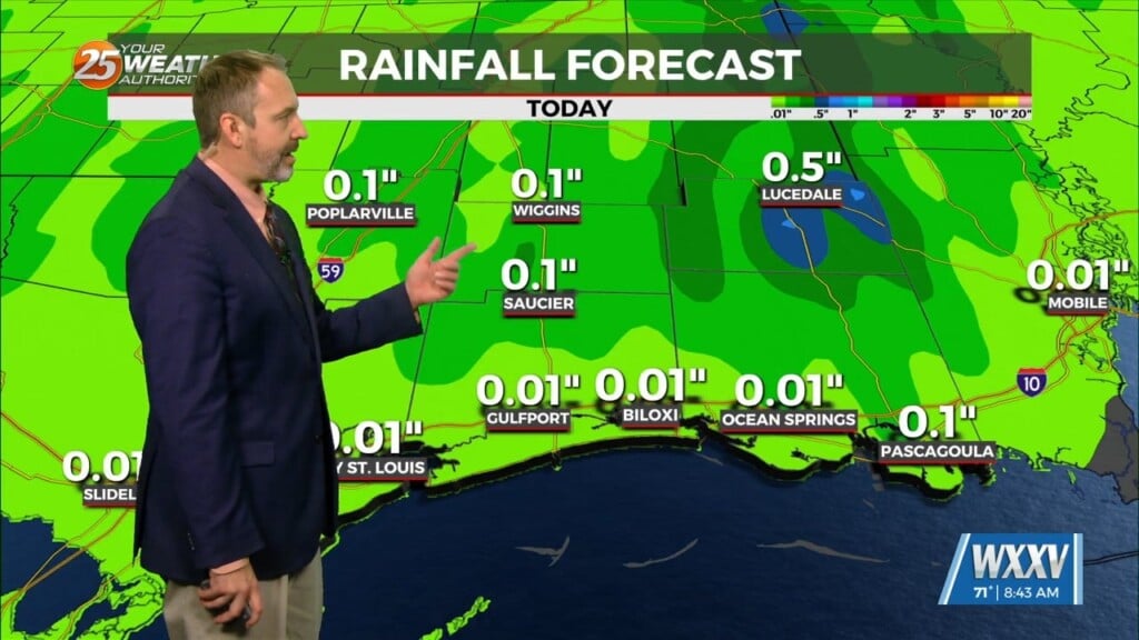
A line of Thunderstorms associated with a cold front to the NW made its way through our area prior to sunrise. There are two main concerns with the forecast in the next 36 hours: first is the cold front to the NW and potential activity making its way into our area again. The second is the potential for another day of dangerous heat. Biggest key is if thunderstorms can get into the area and how long they persist. Mostly Cloudy to cloudy skies will encompass most of the area this morning but the thinking is it should be thin enough or at least thin out early enough for much of the area to warm up quickly. This should lead to much of the area not having a difficult time getting into Heat Advisory conditions. A HEAT ADVISORY is goes into effect at 11 am – 7 pm.
Tomorrow will be another hot day as high pressure will still be centered to the west over eastern TX but is building into the region and this pattern is typical of a hot forecast. Unless t-storm activity is a little more expansive or cloud cover is quite thick, upper 90s should not be difficult for most of the area. There is an “Excessive Heat Watch” for Tuesday for the entire area, but some areas may see a thunderstorm to bring relief from the heat. We’re not seeing much change in this hot pattern and it looks like it will continue into the weekend but maybe we can get some relief late in the weekend. It looks like things will be quite dangerous for the second half of the week especially if you are someone who works outside quite vulnerable to extreme temperatures. With very rich moisture in place in the Lower Levels and temps expected to climb into the upper 90s to lower 100s today through Saturday, additional Excessive Heat Warnings look to be almost guaranteed. The entire extended forecast has the chance to see afternoon thunderstorm to have some relief.


