6/17 – Sam Parker’s “Storm Developing” Monday Evening Forecast
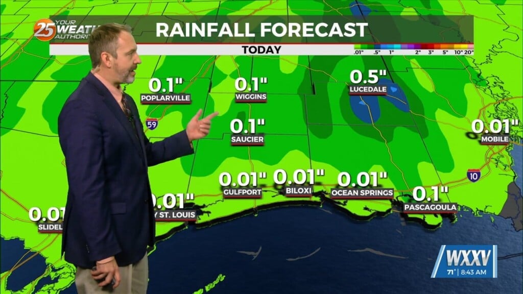
Scattered showers across southern Mississippi will turn to more isolated tonight. Dealing with the surge of moisture in the in the southern parts of the Gulf of Mexico is whats helping fuel the incoming rain. Another surge of showers and storms is expected on Tuesday, however, the impulse driving that round is expected to be further west, more toward western Louisiana, where the axis of heavier rainfall is expected.
Expect INCREASED WINDS TUESDAY-WEDNESDAY, as a Wind Advisory may be necessary across coastal areas near and to the south of Interstate 10 on Tuesday. The persistent SE winds expected will cause higher tide levels along east and south facing shorelines as early as late tonight.
Wednesday and Thursday are expected to be comparatively dry as high pressure build back into the area. We should be back to more of a summertime sea-breeze pattern with overnight/early morning marine activity and isolated to scattered afternoon precipitation over land.


