6/10 – The Chief’s “Isolated Afternoon T-Storms” Monday Morning Forecast
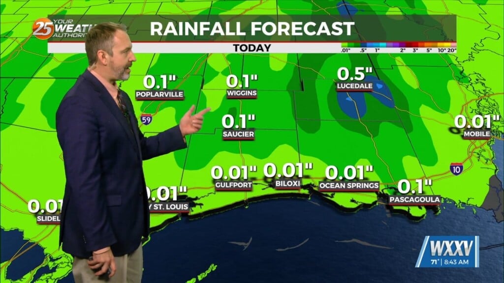
The first 24 to 36 hours of the forecast are somewhat uncertain. Currently we have widely scattered showers that have been developing off the coast along with activity well north. A weak stationary front overhead will slowly drift south with energy moving into the area this afternoon. Coupled with daytime heating…isolated t-storms will pop mid-afternoon into late evening.
Prior to the front getting here temperatures will likely warm up fairly quick and temps are expected in the lower to mid-90s again. The question is can we get any storms. Most of the guidance suggests there is a chance but we will be looking at widely scattered storms at best. This front should approach that area this afternoon while a weak sea-breeze will likely have already developed. The combination of these two should be enough to get some activity going.
Tomorrow may be the one fairly pleasant day, well pleasant for summer anyway. As that front pushes just off the coast we will see drier air work into the region.


