6/10 – Night Rob’s “The Heat To Resume” Friday Evening Forecast
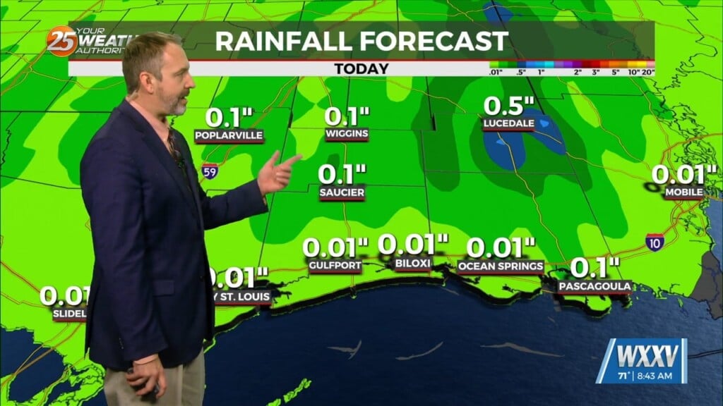
Cloud cover saved the day to a certain extent this Friday. It kept afternoon temperatures down, and with less daytime heating a factor, our severe environment wasn’t as potent as it could have been. Still, some beneficial rain for most of the area. More showers are possible late tonight, and some could be lingering not too far from the beaches early Saturday morning.
It’ll be temporarily cooler tonight behind the storms, dropping to the lower 70s with a touch less humidity. It won’t last long.
The atmosphere will be more stable over the weekend, with a 20% chance of spotty storms, but afternoon temperatures will jump right back to the lower 90s as high pressure to our southwest reasserts itself.
The high continues to shift eastward during the first half of the work week, and really begins to amplify and strengthen by Tuesday as an upper trough digs into the southwestern U.S. As the high strengthens, storms will basically shut off with the exception of a few rogue showers/storms each afternoon. Any showers or storms that do manage to develop would likely do so along a sea breeze boundary where lift is enhanced. A lack of cloud cover and showers/storms will allow afternoon temperatures to rise into the mid 90s by mid-week. With humidity remaining high, afternoon heat index values will easily cross the century mark, and may be flirting with heat advisory criteria by late-week. However, forecast models are not in unanimous agreement with this, but it bears watching.


